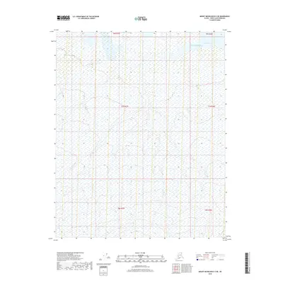
2018 Map of Mount Michelson D-3 NE
USGS Topo · Published 2018About this map
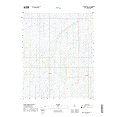
The Beaufort Sea coastline at Camden Bay defines the northern reaches of this Arctic landscape. This 2018 survey by the U.S. Geological Survey covers a remote section of the North Slope Borough, where the coastal plain meets the frigid waters of the Beaufort. The map illustrates a complex network of wetlands and drainage patterns typical of the tundra, with countless small ponds and meandering watercourses. Though primarily a study of natural hydrography and elevation, the inclusion of the Public Land Survey System grid provides an organizational framework for this uninhabited terrain, showing the divisions of Township 8 North through Township 6 North.
Find a feature on this map
8 named features on this map. Tap any name to fly to it.
Don’t see what you’re looking for? This feature index may not catch every label — zoom into the map to look around manually.
Map Details
Editions of this 2018 Mount Michelson D-3 NE Map
This is the sole edition of this map. No revisions or reprints were ever made.
Other maps of this area

1951 · Mt. Michelson
USGS Topo · 1:250,000

1955 · Flaxman Island
USGS Topo · 1:250,000

1955 · Mount Michelson D-3
USGS Topo · 1:63,360

1955 · Mount Michelson D-2
USGS Topo · 1:63,360

1955 · Flaxman Island A-3
USGS Topo · 1:63,360

1956 · Mt. Michelson
USGS Topo · 1:250,000
2018 · Flaxman Island A-3 SW
USGS Topo · 1:25,000
2018 · Flaxman Island A-3 SE
USGS Topo · 1:25,000
2018 · Mount Michelson D-2 SW
USGS Topo · 1:25,000
2018 · Mount Michelson D-3 SE
USGS Topo · 1:25,000