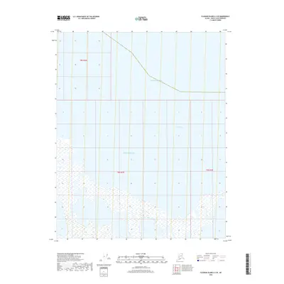
2018 Map of Flaxman Island A-3 SE
USGS Topo · Published 2018About this map
The Beaufort Sea dominates this arctic coastal landscape in Alaska's far north. This segment of the North Slope shoreline reveals a complex maritime boundary where the sea meets the shallow waters of Camden Bay. The map highlights the intricate relationship between the open ocean and the coastal shelf, delineated through the Public Land Survey System grids of t9n r26e, t8n r27e, and t8n r28e. The cartography emphasizes the fluid transition from water to land, capturing the coastal geometry of this sub-arctic environment during the early 21st century. Researchers studying shoreline changes or modern territorial boundaries will find the precise mapping of the bay and sea interface valuable for understanding this specific reach of the Alaskan coast.
Find a feature on this map
5 named features on this map. Tap any name to fly to it.
Don’t see what you’re looking for? This feature index may not catch every label — zoom into the map to look around manually.
Map Details
Editions of this 2018 Flaxman Island A-3 SE Map
This is the sole edition of this map. No revisions or reprints were ever made.
Other maps of this area

1951 · Mt. Michelson
USGS Topo · 1:250,000

1955 · Flaxman Island
USGS Topo · 1:250,000

1955 · Mount Michelson D-3
USGS Topo · 1:63,360

1955 · Mount Michelson D-2
USGS Topo · 1:63,360

1955 · Flaxman Island A-3
USGS Topo · 1:63,360

1956 · Mt. Michelson
USGS Topo · 1:250,000
2018 · Flaxman Island A-3 SW
USGS Topo · 1:25,000
2018 · Flaxman Island A-3 NW
USGS Topo · 1:25,000
2018 · Mount Michelson D-3 NE
USGS Topo · 1:25,000

2018 · Mount Michelson D-3 NW
USGS Topo · 1:25,000