
2018 Map of Mount Michelson D-3 NW
USGS Topo · Published 2018About this map
Tamayariak River winds through this expanse of the North Slope, revealing the intricate drainage patterns of the Alaskan arctic coastal plain. This 2018 survey, published by the U.S. Geological Survey, illustrates the braided nature of the river as it flows northward through the North Slope Borough. The landscape is defined by the Public Land Survey System grid, covering townships from T6N to T8N and ranges R25E through R27E. The terrain shows the characteristic wetland and hydrographic complexity of the region, where the shifting river channels and seasonal water patterns dominate the geography south of the Beaufort Sea coast.
Find a feature on this map
10 named features on this map. Tap any name to fly to it.
Don’t see what you’re looking for? This feature index may not catch every label — zoom into the map to look around manually.
Map Details
Editions of this 2018 Mount Michelson D-3 NW Map
This is the sole edition of this map. No revisions or reprints were ever made.
Other maps of this area

1951 · Mt. Michelson
USGS Topo · 1:250,000

1955 · Flaxman Island
USGS Topo · 1:250,000

1955 · Mount Michelson D-3
USGS Topo · 1:63,360

1955 · Mount Michelson D-4
USGS Topo · 1:63,360

1955 · Flaxman Island A-4
USGS Topo · 1:63,360

1955 · Flaxman Island A-3
USGS Topo · 1:63,360

1956 · Mt. Michelson
USGS Topo · 1:250,000
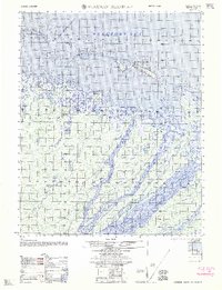
1962 · Flaxman Island A-4
USGS Topo · 1:50,000
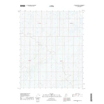
2018 · Flaxman Island A-4 SE
USGS Topo · 1:25,000
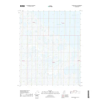
2018 · Flaxman Island A-3 SW
USGS Topo · 1:25,000