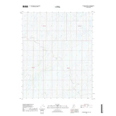
2018 Map of Flaxman Island A-4 SE
USGS Topo · Published 2018About this map
Canning River and Staines River dominate this coastal tundra landscape on the North Slope. The area is defined by complex braiding and marshlands where the river systems interact with the Arctic environment. These intricate waterways create a shifting network of channels and wetlands that characterize the drainage patterns of the region. Mapping by the U.S. Geological Survey reflects the modern survey of the North Slope Borough, providing a detailed record of the shoreline and hydrology near the Arctic coast. The map highlights the vast, unpopulated terrain within Township 9 North, Range 24 East and neighboring sections, where the topography is shaped almost entirely by water flow and glacial deposits.
Find a feature on this map
6 named features on this map. Tap any name to fly to it.
Don’t see what you’re looking for? This feature index may not catch every label — zoom into the map to look around manually.
Map Details
Editions of this 2018 Flaxman Island A-4 SE Map
This is the sole edition of this map. No revisions or reprints were ever made.
Other maps of this area

1951 · Mt. Michelson
USGS Topo · 1:250,000

1955 · Flaxman Island
USGS Topo · 1:250,000

1955 · Mount Michelson D-3
USGS Topo · 1:63,360

1955 · Mount Michelson D-4
USGS Topo · 1:63,360

1955 · Flaxman Island A-4
USGS Topo · 1:63,360

1955 · Flaxman Island A-3
USGS Topo · 1:63,360

1956 · Mt. Michelson
USGS Topo · 1:250,000
1962 · Flaxman Island A-4
USGS Topo · 1:50,000
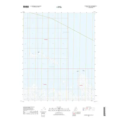
2018 · Flaxman Island A-4 NE
USGS Topo · 1:25,000
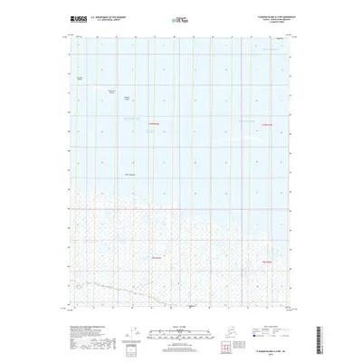
2018 · Flaxman Island A-4 NW
USGS Topo · 1:25,000