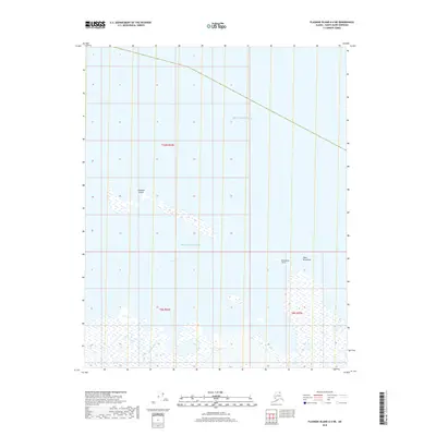
2018 Map of Flaxman Island A-4 NE
USGS Topo · Published 2018About this map
Flaxman Island sits along the northern edge of this coastal survey, shielding the waters of Lion Bay from the open Beaufort Sea. This remote Arctic landscape is defined by the shifting interface of water and low-lying land, where the Staines River enters the sea along the western reaches of the quadrangle. Significant coastal landmarks such as Point Brownlow and Brownlow Point provide fixed geographic reference points in an area largely characterized by wetlands and seasonal ice patterns. The map details the Township and Range divisions of the North Slope, including t9n r24e and t10n r24e, which are essential for locating specific land parcels and historical exploration sites in this sensitive maritime environment.
Find a feature on this map
9 named features on this map. Tap any name to fly to it.
Don’t see what you’re looking for? This feature index may not catch every label — zoom into the map to look around manually.
Map Details
Editions of this 2018 Flaxman Island A-4 NE Map
This is the sole edition of this map. No revisions or reprints were ever made.
Other maps of this area

1955 · Flaxman Island
USGS Topo · 1:250,000

1955 · Flaxman Island A-4
USGS Topo · 1:63,360

1955 · Flaxman Island A-3
USGS Topo · 1:63,360
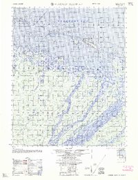
1962 · Flaxman Island A-4
USGS Topo · 1:50,000
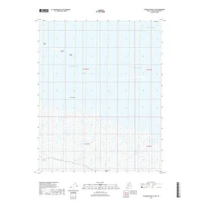
2018 · Flaxman Island A-4 NW
USGS Topo · 1:25,000
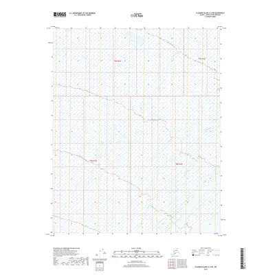
2018 · Flaxman Island A-4 SW
USGS Topo · 1:25,000
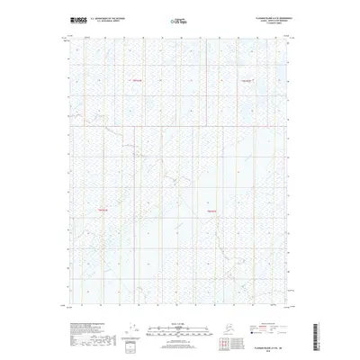
2018 · Flaxman Island A-4 SE
USGS Topo · 1:25,000
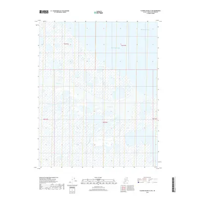
2018 · Flaxman Island A-3 SW
USGS Topo · 1:25,000
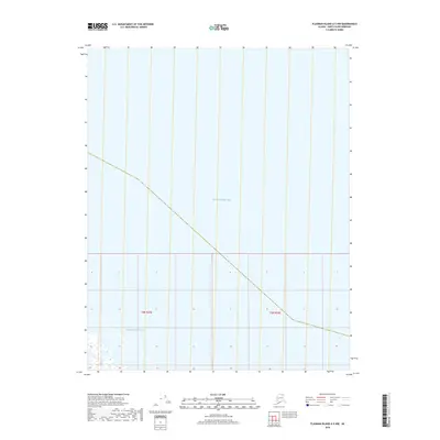
2018 · Flaxman Island A-3 NW
USGS Topo · 1:25,000
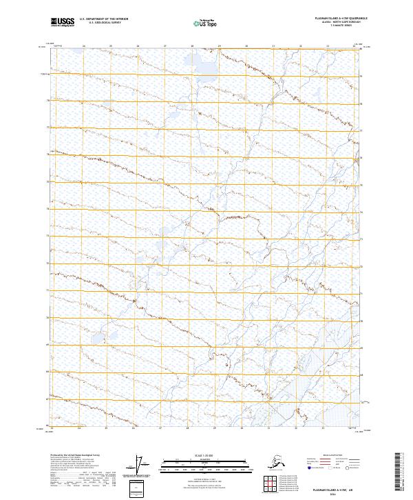
2024 · Flaxman Island A-4 SW
USGS Topo · 1:25,000