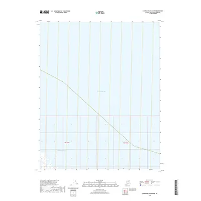
2018 Map of Flaxman Island A-3 NW
USGS Topo · Published 2018About this map
Beaufort Sea dominates this coastal Arctic landscape, where the waters of the Arctic Ocean meet the northern edge of the Alaska coastline. This maritime region is defined by its seasonal transition between open water and sea ice, providing a foundation for traditional subsistence activities and marine migration. The map documents the offshore environment within the Public Land Survey System framework, specifically tracing the boundaries of t9n r25e and t9n r26e. These sections delineate the administrative organization of the North Slope, where the intersection of water and land remains a critical focal point for environmental monitoring and regional resource management.
Find a feature on this map
3 named features on this map. Tap any name to fly to it.
Don’t see what you’re looking for? This feature index may not catch every label — zoom into the map to look around manually.
Map Details
Editions of this 2018 Flaxman Island A-3 NW Map
This is the sole edition of this map. No revisions or reprints were ever made.
Other maps of this area

1955 · Flaxman Island
USGS Topo · 1:250,000

1955 · Flaxman Island A-4
USGS Topo · 1:63,360

1955 · Flaxman Island A-3
USGS Topo · 1:63,360
1962 · Flaxman Island A-4
USGS Topo · 1:50,000
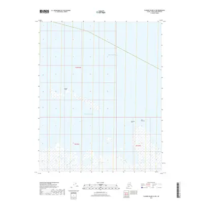
2018 · Flaxman Island A-4 NE
USGS Topo · 1:25,000
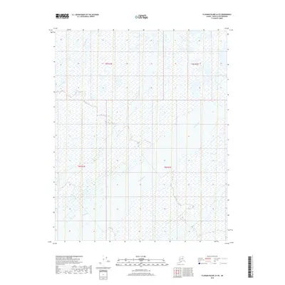
2018 · Flaxman Island A-4 SE
USGS Topo · 1:25,000
2018 · Flaxman Island A-3 SW
USGS Topo · 1:25,000
2018 · Flaxman Island A-3 SE
USGS Topo · 1:25,000
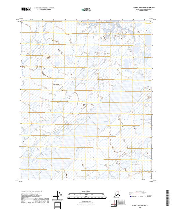
2024 · Flaxman Island A-4 SE
USGS Topo · 1:25,000
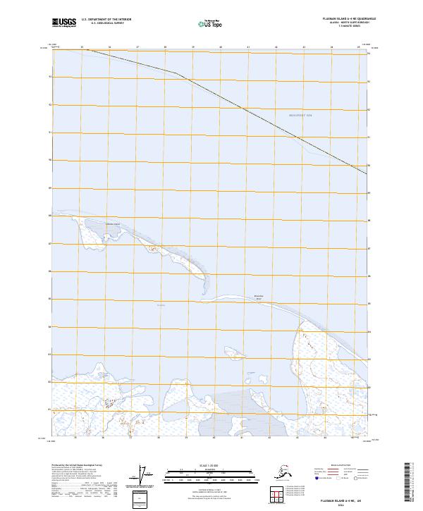
2024 · Flaxman Island A-4 NE
USGS Topo · 1:25,000