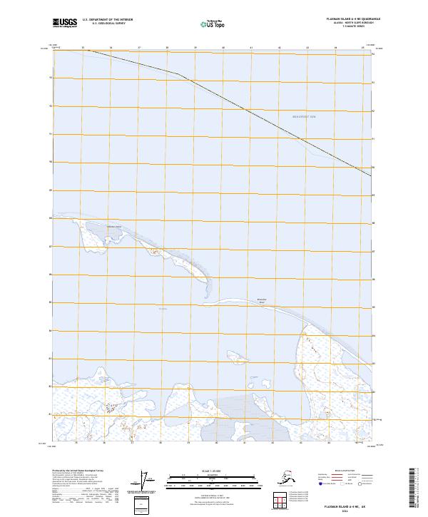
2024 Map of Flaxman Island A-4 NE
USGS Topo · Published 2024About this map
Flaxman Island stretches across the northern waters of this coastal survey, serving as a narrow barrier between the open Beaufort Sea and the protected waters of Lion Bay. The map highlights a critical ecological intersection where the Staines River delta meets the coast, feeding into the expansive Arctic National Wildlife Refuge. This landscape is defined by its low-lying wetlands and complex shoreline, where the shifting sands of the island and the river's drainage patterns illustrate the dynamic nature of the North Slope's coastal environment. The boundary between the open sea and the mainland refuge provides a clear view of the region's unique geography, largely untouched by permanent settlement or infrastructure, focusing instead on the natural features that define this remote stretch of the Alaskan coast.
Find a feature on this map
8 named features on this map. Tap any name to fly to it.
Don’t see what you’re looking for? This feature index may not catch every label — zoom into the map to look around manually.
Map Details
Editions of this 2024 Flaxman Island A-4 NE Map
This is the sole edition of this map. No revisions or reprints were ever made.
Other maps of this area

1955 · Flaxman Island
USGS Topo · 1:250,000

1955 · Flaxman Island A-4
USGS Topo · 1:63,360

1955 · Flaxman Island A-3
USGS Topo · 1:63,360
1962 · Flaxman Island A-4
USGS Topo · 1:50,000
2018 · Flaxman Island A-4 NE
USGS Topo · 1:25,000
2018 · Flaxman Island A-4 NW
USGS Topo · 1:25,000
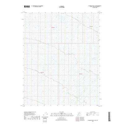
2018 · Flaxman Island A-4 SW
USGS Topo · 1:25,000
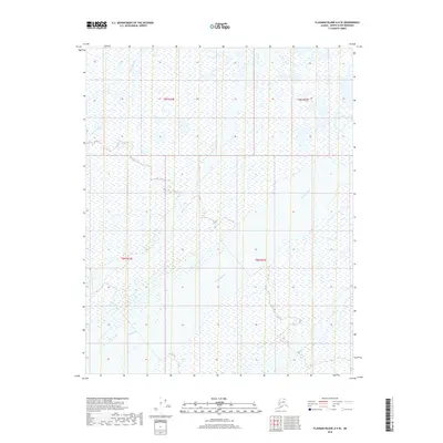
2018 · Flaxman Island A-4 SE
USGS Topo · 1:25,000
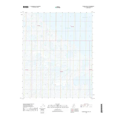
2018 · Flaxman Island A-3 SW
USGS Topo · 1:25,000
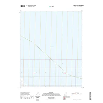
2018 · Flaxman Island A-3 NW
USGS Topo · 1:25,000