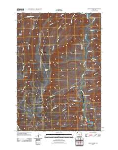
2011 Map of Mount Misery
USGS Topo · Published 2011About this map
The John Day River winds through this Wheeler County landscape, carving a deep path past geological formations like Cathedral Rock and Devils Gulch. The terrain is defined by a complex drainage system where McGinnis Creek, Deep Creek, and Branson Creek feed into the main river channel. This area reflects a quiet, ranch-oriented land use pattern, anchored by the Longview Ranch Airport situated on a bend in the river. Higher elevations are marked by landmarks such as Mount Misery in the northwest and Bull Canyon further south. Numerous seasonal and perennial water sources, including the curiously named Hide and Seek Creek and Black Snag Springs, suggest the importance of water management in this arid stretch of central Oregon.
Find a feature on this map
26 named features on this map. Tap any name to fly to it.
Don’t see what you’re looking for? This feature index may not catch every label — zoom into the map to look around manually.
Map Details
Editions of this 2011 Mount Misery Map
This is the sole edition of this map. No revisions or reprints were ever made.
Other maps of this area

1953 · Richmond
USGS Topo · 1:62,500

1953 · Kimberly
USGS Topo · 1:62,500

1953 · Picture
USGS Topo · 1:62,500

1953 · Spray
USGS Topo · 1:62,500

1955 · Canyon City
USGS Topo · 1:250,000

1959 · Canyon City
USGS Topo · 1:250,000

1980 · Monument
USGS Topo · 1:100,000
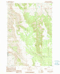
1990 · Miller Flat
USGS Topo · 1:24,000
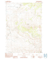
1990 · Tubb Spring
USGS Topo · 1:24,000
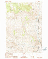
1990 · Picture Gorge West
USGS Topo · 1:24,000