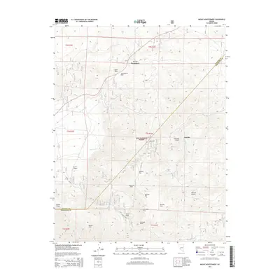
2014 Map of Mount Montgomery
USGS Topo · Published 2014About this map
Montgomery Pass serves as a central landmark in this high-altitude landscape where the borders of Mineral County and Esmeralda County meet. The terrain is defined by dramatic elevation changes, stretching from the floor of Queen Valley and Buffalo Canyon up toward the ridges of Mustang Mtn and Garner Ridge. This 2014 survey documents the remote settlement at Mount Montgomery and the site at Gold Hit, providing a detailed view of the land as it exists within the eastern reaches of the Inyo National Forest. High-desert water sources are sparsely distributed but clearly identified, including Pinchot Springs and several seasonal drainages like Hutchinson Cr and Brownie Cr. Historical pathways and modern access points are traced through the rugged geography, most notably the Trail Canyon route and various flats like Sagehen Flat and Kennedy Flats.
Find a feature on this map
32 named features on this map. Tap any name to fly to it.
Don’t see what you’re looking for? This feature index may not catch every label — zoom into the map to look around manually.
Map Details
Editions of this 2014 Mount Montgomery Map
This is the sole edition of this map. No revisions or reprints were ever made.
Other maps of this area

1909 · Hawthorne
USGS Topo · 1:250,000

1911 · Hawthorne
USGS Topo · 1:250,000

1915 · Hawthorne
USGS Topo · 1:250,000

1917 · White Mountain
USGS Topo · 1:125,000

1947 · Mariposa
USGS Topo · 1:250,000

1948 · Walker Lake
USGS Topo · 1:250,000

1948 · Mariposa
USGS Topo · 1:250,000

1957 · Walker Lake
USGS Topo · 1:250,000

1957 · Mariposa
USGS Topo · 1:250,000

1962 · Walker Lake
USGS Topo · 1:250,000