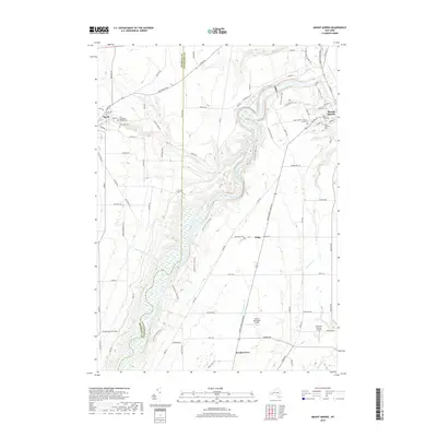
2019 Map of Mount Morris
USGS Topo · Published 2019About this map
Letchworth State Park dominates the central corridor of this Western New York landscape, following the winding course of the Genesee River as it carves through the terrain. The village of Mount Morris sits at the northeastern edge, serving as a hub for local infrastructure where Allens Cr and Buck Run Cr meet the river valley. The map reveals a dense network of local history through its numerous burial sites, including the Saint Stanislaus Kostka Cem and Saint Patrick's Cem, which point to the diverse cultural heritage of the area's early residents.
Find a feature on this map
85 named features on this map. Tap any name to fly to it.
Don’t see what you’re looking for? This feature index may not catch every label — zoom into the map to look around manually.
Map Details
Editions of this 2019 Mount Morris Map
This is the sole edition of this map. No revisions or reprints were ever made.
Other maps of this area

1904 · Batavia
USGS Topo · 1:62,500

1904 · Caledonia
USGS Topo · 1:62,500

1905 · Portage
USGS Topo · 1:62,500

1905 · Nunda
USGS Topo · 1:62,500

1943 · Mount Morris
USGS Topo · 1:24,000

1943 · Sonyea
USGS Topo · 1:24,000

1943 · Nunda
USGS Topo · 1:24,000

1943 · Ossian
USGS Topo · 1:24,000

1943 · Castile
USGS Topo · 1:24,000

1943 · Portageville
USGS Topo · 1:24,000