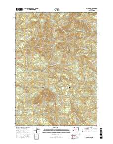
2017 Map of Mount Nebo
USGS Topo · Published 2017About this map
Mohawk River drainage systems define this section of Lane County, where the north and south forks converge amidst complex terrain. The landscape is anchored by the prominent elevations of Mount Nebo and Oshkosh Mtn, with the latter feeding the headwaters of Oshkosh Cr. This 2017 survey reflects a modern view of the region’s topography, highlighting a dense network of watercourses including Mill Cr, Deer Cr, and Nebo Cr. While the area remains largely defined by its natural water features and steep ridges, the presence of established forestry routes like 17-1-13 Rd and 16-1-26 Rd indicates the ongoing importance of timber access. To the south, Camp Cr and Cogswell Cr carve through the foothills, illustrating the intricate hydrography that has shaped land use and property boundaries in this part of Oregon for generations.
Find a feature on this map
25 named features on this map. Tap any name to fly to it.
Don’t see what you’re looking for? This feature index may not catch every label — zoom into the map to look around manually.
Map Details
Editions of this 2017 Mount Nebo Map
This is the sole edition of this map. No revisions or reprints were ever made.
Other maps of this area

1921 · Brownsville
USGS Topo · 1:62,500

1950 · Marcola
USGS Topo · 1:62,500

1950 · Brownsville
USGS Topo · 1:62,500

1951 · Sweet Home
USGS Topo · 1:62,500

1951 · Leaburg
USGS Topo · 1:62,500

1952 · Brownsville
USGS Topo · 1:62,500

1952 · Marcola
USGS Topo · 1:62,500

1953 · Salem
USGS Topo · 1:250,000

1954 · Salem
USGS Topo · 1:250,000

1960 · Salem
USGS Topo · 1:250,000