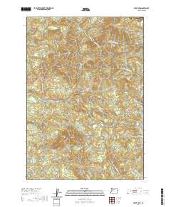
2020 Map of Mount Nebo
USGS Topo · Published 2020About this map
Mt Nebo and Oshkosh Mtn anchor the high ground of this section of Lane County, where the upper reaches of the Mohawk River system carve through the terrain. The drainage network is complex, featuring the N Fork Mohawk River and S Fork Mohawk River, which gather water from numerous named tributaries including Mill Cr and Oshkosh Cr. This 2020 survey illustrates the remote character of the area, defined by steep ridges and deep creek beds like Nebo Cr and Buttin Cr.
Find a feature on this map
28 named features on this map. Tap any name to fly to it.
Don’t see what you’re looking for? This feature index may not catch every label — zoom into the map to look around manually.
Map Details
Editions of this 2020 Mount Nebo Map
This is the sole edition of this map. No revisions or reprints were ever made.
Other maps of this area

1921 · Brownsville
USGS Topo · 1:62,500

1950 · Marcola
USGS Topo · 1:62,500

1950 · Brownsville
USGS Topo · 1:62,500

1951 · Sweet Home
USGS Topo · 1:62,500

1951 · Leaburg
USGS Topo · 1:62,500

1952 · Brownsville
USGS Topo · 1:62,500

1952 · Marcola
USGS Topo · 1:62,500

1953 · Salem
USGS Topo · 1:250,000

1954 · Salem
USGS Topo · 1:250,000

1960 · Salem
USGS Topo · 1:250,000