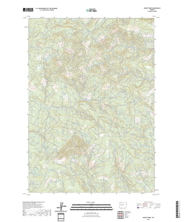
2023 Map of Mount Nebo
USGS Topo · Published 2023About this map
Mohawk River drainage basins define the topography of this portion of eastern Lane County in the early 21st century. The map centers on the elevation of Mt Nebo, where numerous seasonal and perennial watercourses originate. The complex network of creeks, including Nebo Creek and Straight Creek, flows through a landscape marked by substantial relief between the high points of Oshkosh Mtn and the river valleys below. This survey captures the modern forest road system and land divisions within the Willamette Meridian system, showing the persistent geographic importance of the North Fork Mohawk River and South Fork Mohawk River as they collect runoff from the surrounding peaks. Researchers will find a terrain largely defined by its natural hydrology, from the southern reaches of Camp Creek to the northern waters of Oshkosh Creek.
Find a feature on this map
27 named features on this map. Tap any name to fly to it.
Don’t see what you’re looking for? This feature index may not catch every label — zoom into the map to look around manually.
Map Details
Editions of this 2023 Mount Nebo Map
This is the sole edition of this map. No revisions or reprints were ever made.
Other maps of this area

1921 · Brownsville
USGS Topo · 1:62,500

1950 · Marcola
USGS Topo · 1:62,500

1950 · Brownsville
USGS Topo · 1:62,500

1951 · Sweet Home
USGS Topo · 1:62,500

1951 · Leaburg
USGS Topo · 1:62,500

1952 · Brownsville
USGS Topo · 1:62,500

1952 · Marcola
USGS Topo · 1:62,500

1953 · Salem
USGS Topo · 1:250,000

1954 · Salem
USGS Topo · 1:250,000

1960 · Salem
USGS Topo · 1:250,000