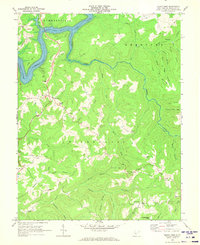
1969 Map of Mount Nebo
USGS Topo · Published 1973About this map
Summersville Lake dominates the northwest corner of this West Virginia terrain, where the Gauley River feeds into the reservoir near Long Point. The landscape is a network of ridges and deep drainage forks, notably the winding Hominy Creek which snakes southward through the center of the sheet. Settlement is dispersed along the higher ground, with the community of Mount Nebo serving as a primary hub. The social fabric of the late 1960s is evidenced by numerous small country churches and schools, including the Mt Nebo Sch and Gilgal Ch. Further south, the rural character remains intact near Pool and Runa, while more remote landmarks like Snow Hill and the Spruce Grove Cem & Ch highlight the area's genealogical and local history significance. Several jeep trails and a small landing strip suggest the area's reliance on specialized transport across the dissected plateau.
Find a feature on this map
79 named features on this map. Tap any name to fly to it.
Don’t see what you’re looking for? This feature index may not catch every label — zoom into the map to look around manually.
Map Details
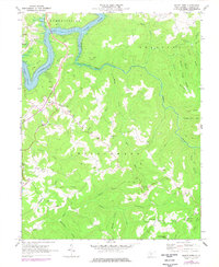
Editions of this 1969 Mount Nebo Map
2 editions found
Other maps of this area

1889 · Nicholas
USGS Topo · 1:125,000

1891 · Nicholas
USGS Topo · 1:125,000

1901 · Nicholas
USGS Topo · 1:125,000

1913 · Summersville
USGS Topo · 1:48,000

1914 · Winona
USGS Topo · 1:48,000

1915 · Cowen
USGS Topo · 1:48,000
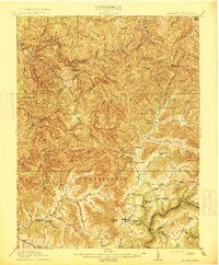
1915 · Summersville
USGS Topo · 1:62,500

1916 · Winona
USGS Topo · 1:62,500

1917 · Cowen
USGS Topo · 1:62,500

1918 · Richwood
USGS Topo · 1:62,500