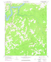
1969 Map of Mount Nebo
USGS Topo · Published 1977About this map
Summersville Lake and the Gauley River dominate the northern landscape of this Nicholas County region during the late 1960s and mid-1970s. The map illustrates a high concentration of rural social centers, specifically small churches and schools that anchored upland communities like Mount Nebo, Pool, and Snow Hill. Local family-named geography is prominent, seen in landmarks like Fowler Knob and Daubenspeck Knob, alongside numerous cemeteries marked simply as Cem. The presence of a Landing Strip near the lake and various campsites suggests the area's transition toward recreation, while the intricate network of watercourses including Hominy Creek, Anglins Creek, and Mouse Fork reflects the complex drainage of the Wilderness district. This survey provides a clear view of the settlement patterns before modern expansion, capturing the placement of the Mt Nebo Sch and several country chapels.
Find a feature on this map
55 named features on this map. Tap any name to fly to it.
Don’t see what you’re looking for? This feature index may not catch every label — zoom into the map to look around manually.
Map Details
Editions of this 1969 Mount Nebo Map
2 editions found
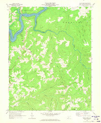
Other maps of this area

1889 · Nicholas
USGS Topo · 1:125,000

1891 · Nicholas
USGS Topo · 1:125,000

1901 · Nicholas
USGS Topo · 1:125,000

1913 · Summersville
USGS Topo · 1:48,000

1914 · Winona
USGS Topo · 1:48,000

1915 · Cowen
USGS Topo · 1:48,000
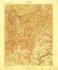
1915 · Summersville
USGS Topo · 1:62,500

1916 · Winona
USGS Topo · 1:62,500

1917 · Cowen
USGS Topo · 1:62,500

1918 · Richwood
USGS Topo · 1:62,500