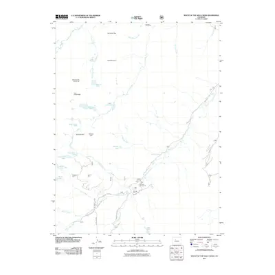
2011 Map of Mount of the Holy Cross
USGS Topo · Published 2011About this map
Mount of the Holy Cross dominates this high-altitude landscape, a region historically shaped by the pursuit of precious metals and the spiritual draw of its namesake peak. The settlement of Holy Cross City and nearby Gold Park serve as focal points for exploration, connected by rugged routes like Homestake Rd and Missouri Creek Rd.
Find a feature on this map
42 named features on this map. Tap any name to fly to it.
Don’t see what you’re looking for? This feature index may not catch every label — zoom into the map to look around manually.
Map Details
Editions of this 2011 Mount of the Holy Cross Map
This is the sole edition of this map. No revisions or reprints were ever made.
Other maps of this area

1889 · Leadville
USGS Topo · 1:125,000

1891 · Leadville
USGS Topo · 1:125,000

1909 · Mount Jackson
USGS Topo · 1:125,000

1911 · Mount Jackson
USGS Topo · 1:125,000

1934 · Minturn
USGS Topo · 1:62,500

1942 · Leadville
USGS Topo · 1:125,000

1949 · Holy Cross
USGS Topo · 1:62,500

1950 · Minturn
USGS Topo · 1:62,500

1951 · Holy Cross
USGS Topo · 1:62,500

1957 · Leadville
USGS Topo · 1:250,000