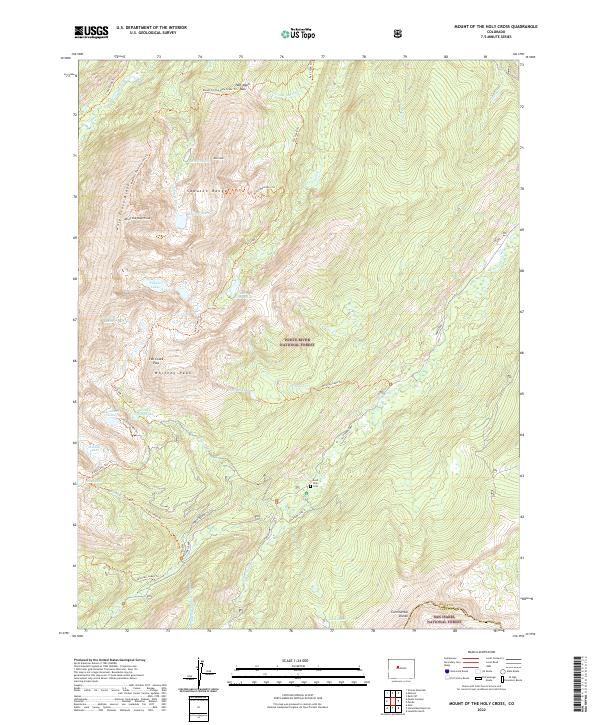
2022 Map of Mount of the Holy Cross
USGS Topo · Published 2022About this map
Mt of the Holy Cross stands as the centerpiece of this high-altitude landscape in the Sawatch Range. This survey follows the high ridges and glacial basins where the Continental Divide separates the White River National Forest and the San Isabel National Forest. The map documents a rugged alpine geography defined by numerous tarns, including the Bowl of Tears, Seven Sisters Lakes, and Lake Constantine.
Find a feature on this map
53 named features on this map. Tap any name to fly to it.
Don’t see what you’re looking for? This feature index may not catch every label — zoom into the map to look around manually.
Map Details
Editions of this 2022 Mount of the Holy Cross Map
This is the sole edition of this map. No revisions or reprints were ever made.
Other maps of this area

1889 · Leadville
USGS Topo · 1:125,000

1891 · Leadville
USGS Topo · 1:125,000

1909 · Mount Jackson
USGS Topo · 1:125,000

1911 · Mount Jackson
USGS Topo · 1:125,000

1934 · Minturn
USGS Topo · 1:62,500

1942 · Leadville
USGS Topo · 1:125,000

1949 · Holy Cross
USGS Topo · 1:62,500

1950 · Minturn
USGS Topo · 1:62,500

1951 · Holy Cross
USGS Topo · 1:62,500

1957 · Leadville
USGS Topo · 1:250,000