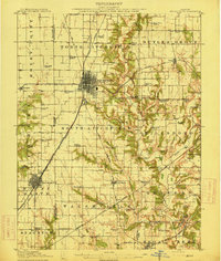
1915 Map of Mount Olive
USGS Topo · Published 1915About this map
Litchfield sits at a dense railroad crossroads where the Chicago and St Louis RR and several other lines intersect, marking the industrial heart of this Central Illinois region. The map captures a landscape transitioning between coal-mining hubs and rural school districts, with many small rural schools like Lake Erie School and Ritchie School dotting the township sections. Further south, the Illinois Traction electric interurban line parallels the steam railroads, linking Mount Olive and Staunton with the state capital.
Find a feature on this map
68 named features on this map. Tap any name to fly to it.
Don’t see what you’re looking for? This feature index may not catch every label — zoom into the map to look around manually.
Map Details
Editions of this 1915 Mount Olive Map
3 editions found
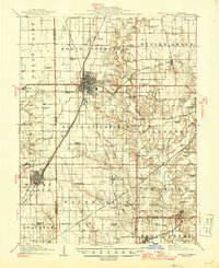
Other maps of this area

1912 · Gillespie
USGS Topo · 1:62,500

1915 · Gillespie
USGS Topo · 1:62,500

1915 · Mount Olive
USGS Topo · 1:62,500

1923 · Carlinville
USGS Topo · 1:48,000

1923 · Raymond
USGS Topo · 1:62,500

1925 · Carlinville
USGS Topo · 1:62,500

1925 · Raymond
USGS Topo · 1:62,500

1927 · Edwardsville
USGS Topo · 1:62,500

1931 · Carlinville
USGS Topo · 1:62,500

1932 · Edwardsville
USGS Topo · 1:62,500