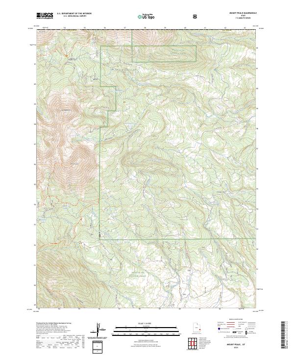
2023 Map of Mount Peale
USGS Topo · Published 2023About this map
The La Sal Mountains define this high-altitude landscape in San Juan County, dominated by the peaks of Mt Peale and Mt Mellenthin. Much of the terrain lies within the Manti-La Sal National Forest, where steep drainages like Dark Canyon and Pole Canyon drop away from the summits. The map reveals a network of high-country water sources, including Blue Lake, Dark Canyon Lake, Beaver Lake, and the Medicine Lakes. These features, alongside isolated points like Canopy Spring, indicate a landscape where water management and seasonal access are primary.
Find a feature on this map
40 named features on this map. Tap any name to fly to it.
Don’t see what you’re looking for? This feature index may not catch every label — zoom into the map to look around manually.
Map Details
Editions of this 2023 Mount Peale Map
This is the sole edition of this map. No revisions or reprints were ever made.
Other maps of this area

1885 · La Sal
USGS Topo · 1:250,000

1954 · Mt Peale 1 SE
USGS Topo · 1:24,000

1954 · Mt Peale 1 NE
USGS Topo · 1:24,000

1954 · Mt. Waas 4 SE
USGS Topo · 1:24,000

1954 · Mt. Waas 4 SW
USGS Topo · 1:24,000

1954 · Mt Peale 1 SW
USGS Topo · 1:24,000

1954 · Mt Peale 1 NW
USGS Topo · 1:24,000

1954 · Mt Peale 2 SE
USGS Topo · 1:24,000

1954 · Mt. Waas 3 SE
USGS Topo · 1:24,000

1954 · Mt Peale 2 NE
USGS Topo · 1:24,000