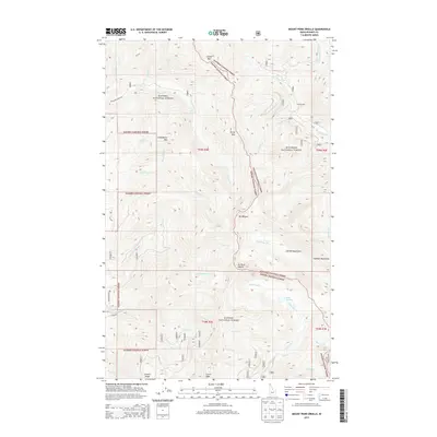
2013 Map of Mount Pend Oreille
USGS Topo · Published 2013About this map
Mt Pend Oreille stands as the central landmark of this high-country landscape, where the Kanisku National Forest and Kootenai National Forest meet at the Idaho border. The terrain is defined by a series of prominent peaks and ridges, including Trestle Ridge and Lunch Peak in the south, stretching toward Calder Mtn in the north. This 2013 survey illustrates a wilderness nearly devoid of permanent settlements, with the notable exception of Smith Cabin situated in the northeast.
Find a feature on this map
43 named features on this map. Tap any name to fly to it.
Don’t see what you’re looking for? This feature index may not catch every label — zoom into the map to look around manually.
Map Details
Editions of this 2013 Mount Pend Oreille Map
This is the sole edition of this map. No revisions or reprints were ever made.
Other maps of this area

1911 · Priest Lake
USGS Topo · 1:250,000

1913 · Priest Lake
USGS Topo · 1:250,000

1951 · Mt Pend Oreille
USGS Topo · 1:62,500

1951 · Elmira
USGS Topo · 1:62,500

1958 · Sandpoint
USGS Topo · 1:250,000

1963 · Sandpoint
USGS Topo · 1:250,000
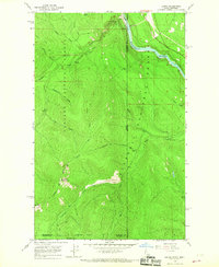
1965 · Leonia
USGS Topo · 1:24,000

1965 · Twentymile Creek
USGS Topo · 1:24,000
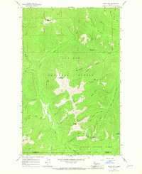
1965 · Clifty Mtn
USGS Topo · 1:24,000
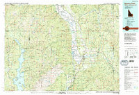
1983 · Bonners Ferry
USGS Topo · 1:100,000