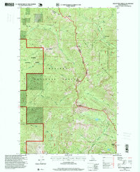
1996 Map of Mount Pend Oreille
USGS Topo · Published 1999About this map
The Cabinet Mountains define this high-altitude landscape along the boundary of the Kaniksu National Forest and Kootenai National Forest. Revised in the mid-1990s, the map documents the difficult terrain and resource extraction history of northern Idaho. A prominent Open Pit Mine and a designated Prospect signify the area's geological importance, while the isolated Smith Cabin and the network of forest service designations like the Sandpoint Ranger District suggest the administrative and seasonal human presence in the area.
Find a feature on this map
34 named features on this map. Tap any name to fly to it.
Don’t see what you’re looking for? This feature index may not catch every label — zoom into the map to look around manually.
Map Details
Editions of this 1996 Mount Pend Oreille Map
This is the sole edition of this map. No revisions or reprints were ever made.
Other maps of this area

1911 · Priest Lake
USGS Topo · 1:250,000

1913 · Priest Lake
USGS Topo · 1:250,000

1951 · Mt Pend Oreille
USGS Topo · 1:62,500

1951 · Elmira
USGS Topo · 1:62,500

1958 · Sandpoint
USGS Topo · 1:250,000

1963 · Sandpoint
USGS Topo · 1:250,000
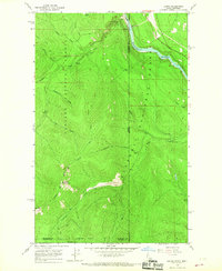
1965 · Leonia
USGS Topo · 1:24,000

1965 · Twentymile Creek
USGS Topo · 1:24,000
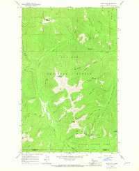
1965 · Clifty Mtn
USGS Topo · 1:24,000
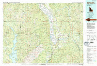
1983 · Bonners Ferry
USGS Topo · 1:100,000