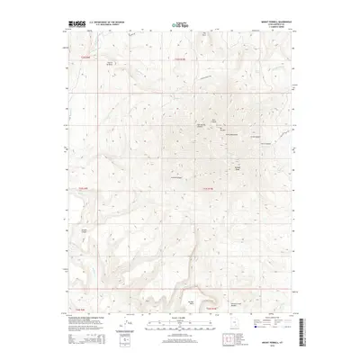
2014 Map of Mount Pennell
USGS Topo · Published 2014About this map
Mt Pennell serves as the focal point of this high-altitude landscape within the Henry Mountains, a region characterized by dramatic elevation shifts and complex drainage systems. The map traces the rugged descent from the heights of Bulldog Ridge and The Horn down into deeply carved features like Pipe Spring Canyon and Scratch Canyon. Water is a scarce but defining element, marked by the presence of Gibbons Springs and the winding course of Bullfrog Cr.
Find a feature on this map
28 named features on this map. Tap any name to fly to it.
Don’t see what you’re looking for? This feature index may not catch every label — zoom into the map to look around manually.
Map Details
Editions of this 2014 Mount Pennell Map
This is the sole edition of this map. No revisions or reprints were ever made.
Other maps of this area

1885 · San Rafael
USGS Topo · 1:250,000

1886 · Henry Mountains
USGS Topo · 1:250,000

1892 · Henry Mountains
USGS Topo · 1:250,000

1952 · Mt Pennell 1 SW
USGS Topo · 1:24,000

1952 · Mount Ellen 4 SW
USGS Topo · 1:24,000

1952 · Mt Pennell 2 NE
USGS Topo · 1:24,000

1952 · Mt Hillers
USGS Topo · 1:62,500

1952 · Mt Pennell 1 NW
USGS Topo · 1:24,000

1952 · Bull Mountain
USGS Topo · 1:62,500

1953 · Mt Pennell
USGS Topo · 1:62,500