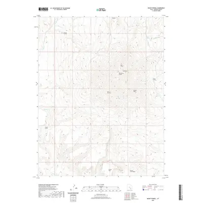
2020 Map of Mount Pennell
USGS Topo · Published 2020About this map
Mt Pennell and the Henry Mountains dominate this high-altitude landscape in Garfield County. The drainage network is defined by Bullfrog Cr and its various forks, including the N Fork Bullfrog Cr, which carves through the Turn of Bullfrog. This modern survey illustrates the complex verticality of the region, from the high peaks of Bulldog Ridge to the deep incisions of Dark Canyon and Pipe Spring Canyon. To the south, the topography transitions into the Pennell Creek Roughs and the flat-topped No Man Mesa. This specific quadrangle captures a wilderness characterized by distinct geomorphological features like The Horn and Scratch Canyon, showing the area's natural state before the many seasonal watercourses like Mud Cr and Pennell Cr converge.
Find a feature on this map
20 named features on this map. Tap any name to fly to it.
Don’t see what you’re looking for? This feature index may not catch every label — zoom into the map to look around manually.
Map Details
Editions of this 2020 Mount Pennell Map
This is the sole edition of this map. No revisions or reprints were ever made.
Other maps of this area

1885 · San Rafael
USGS Topo · 1:250,000

1886 · Henry Mountains
USGS Topo · 1:250,000

1892 · Henry Mountains
USGS Topo · 1:250,000

1952 · Mt Pennell 1 SW
USGS Topo · 1:24,000

1952 · Mount Ellen 4 SW
USGS Topo · 1:24,000

1952 · Mt Pennell 2 NE
USGS Topo · 1:24,000

1952 · Mt Hillers
USGS Topo · 1:62,500

1952 · Mt Pennell 1 NW
USGS Topo · 1:24,000

1952 · Bull Mountain
USGS Topo · 1:62,500

1953 · Mt Pennell
USGS Topo · 1:62,500