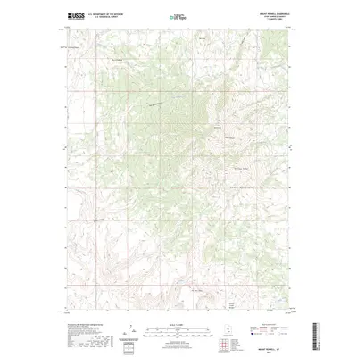
2023 Map of Mount Pennell
USGS Topo · Published 2023About this map
Mt Pennell dominates this portion of the Henry Mountains, serving as a central high point in a landscape defined by dramatic elevation changes and a complex drainage system. The terrain radiates from this peak into a series of deep cuts, including Corral Canyon and Pipe Spring Canyon. To the west, the expansive Tarantula Mesa provides a stark contrast to the sharp spine of Bulldog Ridge. The water network is particularly intricate here, with Bullfrog Creek winding through the northwest and the Pennell Creek Roughs marking the southeastern descent. This USGS survey documents the topographic layout of these distinct geological formations, from the isolation of No Man Mesa to the headwaters of Coyote Creek and Straight Creek, illustrating the natural barriers that have shaped movement through this part of Garfield County.
Find a feature on this map
20 named features on this map. Tap any name to fly to it.
Don’t see what you’re looking for? This feature index may not catch every label — zoom into the map to look around manually.
Map Details
Editions of this 2023 Mount Pennell Map
This is the sole edition of this map. No revisions or reprints were ever made.
Other maps of this area

1885 · San Rafael
USGS Topo · 1:250,000

1886 · Henry Mountains
USGS Topo · 1:250,000

1892 · Henry Mountains
USGS Topo · 1:250,000

1952 · Mt Pennell 1 SW
USGS Topo · 1:24,000

1952 · Mount Ellen 4 SW
USGS Topo · 1:24,000

1952 · Mt Pennell 2 NE
USGS Topo · 1:24,000

1952 · Mt Hillers
USGS Topo · 1:62,500

1952 · Mt Pennell 1 NW
USGS Topo · 1:24,000

1952 · Bull Mountain
USGS Topo · 1:62,500

1953 · Mt Pennell
USGS Topo · 1:62,500