
1948 Map of Mount Philo
USGS Topo · Published 1953About this map
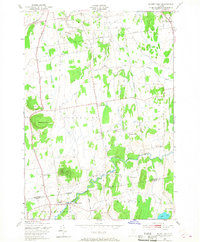
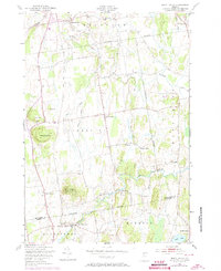
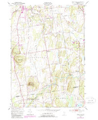
Shelburne Falls and the agricultural landscapes of the Lake Champlain valley are documented here just after the war. This mid-century survey captures the rural character of the border between Chittenden and Addison counties, where small crossroads like Prindle Corners and East Charlotte served as local hubs. The terrain is defined by prominent elevations such as Mount Philo, topped with an Airway Beacon, and Pease Mountain, which stood over a patchwork of farms and woodlots.
Find a feature on this map
33 named features on this map. Tap any name to fly to it.
Don’t see what you’re looking for? This feature index may not catch every label — zoom into the map to look around manually.
Map Details
Editions of this 1948 Mount Philo Map
4 editions found
Other maps of this area

1894 · Port Henry
USGS Topo · 1:62,500

1895 · Willsboro
USGS Topo · 1:62,500

1898 · Port Henry
USGS Topo · 1:62,500

1903 · Middlebury
USGS Topo · 1:62,500

1905 · Middlebury
USGS Topo · 1:62,500

1906 · Burlington
USGS Topo · 1:62,500

1919 · Burlington
USGS Topo · 1:62,500

1920 · Middlebury
USGS Topo · 1:62,500

1941 · Willsboro
USGS Topo · 1:62,500

1943 · Willsboro
USGS Topo · 1:62,500