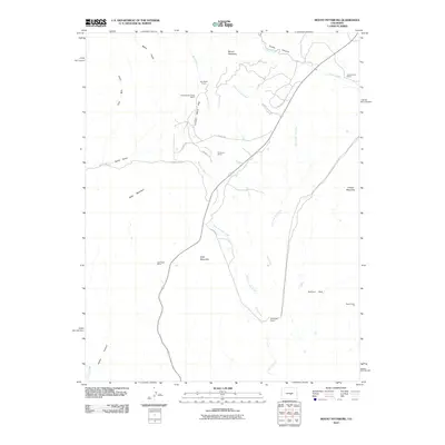
2010 Map of Mount Pittsburg
USGS Topo · Published 2010About this map
Mount Pittsburg and Wild Mountain dominate this part of El Paso County, where high-altitude ranching and extraction have shaped the landscape. Named holdings like Fords Mountaindale Ranch, Pinehurst Ranch, and Red Creek Ranch are connected by a network of rural roads including County Rd 132 and Juniper Valley Rd. The drainage systems of Red Creek and its various forks, such as West Fork Red Creek, dictate the movement across the terrain, carving deep paths through Red Creek Canyon and Turkey Canyon.
Find a feature on this map
28 named features on this map. Tap any name to fly to it.
Don’t see what you’re looking for? This feature index may not catch every label — zoom into the map to look around manually.
Map Details
Editions of this 2010 Mount Pittsburg Map
This is the sole edition of this map. No revisions or reprints were ever made.
Other maps of this area

1889 · Canon City
USGS Topo · 1:125,000

1891 · Pueblo
USGS Topo · 1:125,000

1892 · Canon City
USGS Topo · 1:125,000

1893 · Colorado Springs
USGS Topo · 1:125,000

1894 · Pikes Peak
USGS Topo · 1:125,000

1894 · Pueblo
USGS Topo · 1:125,000

1896 · Pueblo
USGS Topo · 1:125,000

1897 · Pueblo
USGS Topo · 1:125,000

1901 · Pikes Peak
USGS Topo · 1:125,000

1909 · Colorado Springs
USGS Topo · 1:125,000