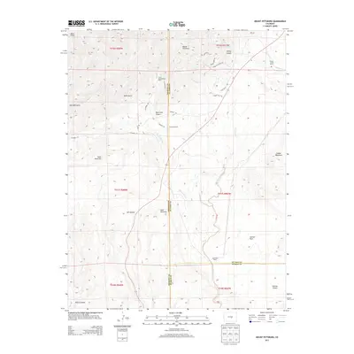
2013 Map of Mount Pittsburg
USGS Topo · Published 2013About this map
Mount Pittsburg stands as a central landmark in this high-elevation landscape, where the borders of El Paso, Fremont, and Pueblo counties converge. The terrain is defined by a series of dramatic geographic features including Table Mountain, Wild Mountain, and the massive Timber Mountain to the east. This 2013 survey illustrates a region largely characterized by large-scale ranching and rugged topography, evidenced by established holdings such as Fords Mountaindale Ranch and Pinehurst Ranch. Water systems like Red Creek and its various branches, including E Fork Red Cr and W Fork Red Cr, have carved deep into the earth to form Red Creek Canyon and Salt Canyon. Transportation through this complex geography is facilitated by Co Road 132 and smaller local routes like Henry Gulch RD RD, which navigate the steep drainage of Turkey Canyon and Banta Gulch.
Find a feature on this map
37 named features on this map. Tap any name to fly to it.
Don’t see what you’re looking for? This feature index may not catch every label — zoom into the map to look around manually.
Map Details
Editions of this 2013 Mount Pittsburg Map
This is the sole edition of this map. No revisions or reprints were ever made.
Other maps of this area
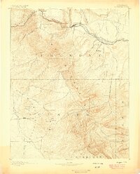
1889 · Canon City
USGS Topo · 1:125,000
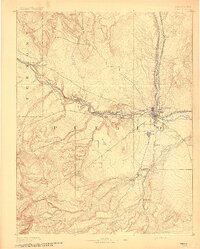
1891 · Pueblo
USGS Topo · 1:125,000
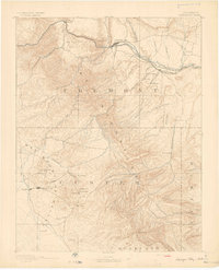
1892 · Canon City
USGS Topo · 1:125,000
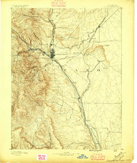
1893 · Colorado Springs
USGS Topo · 1:125,000
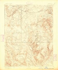
1894 · Pikes Peak
USGS Topo · 1:125,000
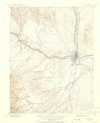
1894 · Pueblo
USGS Topo · 1:125,000
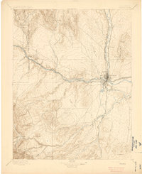
1896 · Pueblo
USGS Topo · 1:125,000
1897 · Pueblo
USGS Topo · 1:125,000
1901 · Pikes Peak
USGS Topo · 1:125,000
1909 · Colorado Springs
USGS Topo · 1:125,000