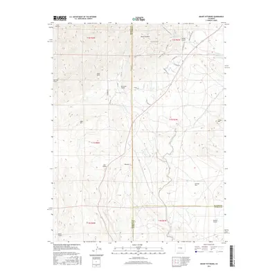
2016 Map of Mount Pittsburg
USGS Topo · Published 2016About this map
Mount Pittsburg stands as the central landmark of this high-altitude landscape where the boundaries of El Paso, Pueblo, and Fremont counties converge. The terrain is defined by a dense network of watercourses and elevation changes, notably the winding path of Turkey Canyon in the northeast and the multiple branches of Red Creek that carve through the central portion of the sheet. Modern residential growth is visible through a cluster of named roads such as Cala Rojo Drive and Tierra Rojo Drive, appearing as subdivisions etched into the slopes near Big Spruce Heights.
Find a feature on this map
44 named features on this map. Tap any name to fly to it.
Don’t see what you’re looking for? This feature index may not catch every label — zoom into the map to look around manually.
Map Details
Editions of this 2016 Mount Pittsburg Map
This is the sole edition of this map. No revisions or reprints were ever made.
Other maps of this area
1889 · Canon City
USGS Topo · 1:125,000
1891 · Pueblo
USGS Topo · 1:125,000
1892 · Canon City
USGS Topo · 1:125,000
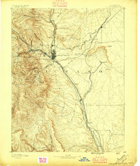
1893 · Colorado Springs
USGS Topo · 1:125,000
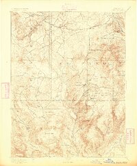
1894 · Pikes Peak
USGS Topo · 1:125,000
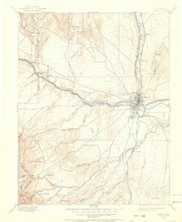
1894 · Pueblo
USGS Topo · 1:125,000
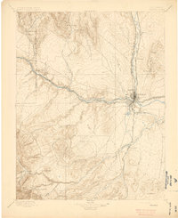
1896 · Pueblo
USGS Topo · 1:125,000
1897 · Pueblo
USGS Topo · 1:125,000
1901 · Pikes Peak
USGS Topo · 1:125,000
1909 · Colorado Springs
USGS Topo · 1:125,000