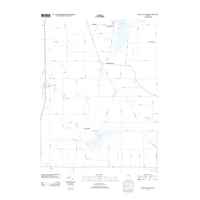
2013 Map of Mount Pleasant
USGS Topo · Published 2013About this map
Summit Lake Reservoir and Prairie Creek Reservoir dominate this East Central Indiana landscape, serving as major water management and recreational anchors for the surrounding rural communities. The map details a network of agricultural drainage and natural waterways, including Buck Cr, Big Blue River, and the curiously named Cemetery Run. These water systems define the geography between small, historic settlements like Rogersville and Mount Pleasant.
Find a feature on this map
88 named features on this map. Tap any name to fly to it.
Don’t see what you’re looking for? This feature index may not catch every label — zoom into the map to look around manually.
Map Details
Editions of this 2013 Mount Pleasant Map
This is the sole edition of this map. No revisions or reprints were ever made.
Other maps of this area

1949 · New Castle West
USGS Topo · 1:24,000

1950 · New Castle East
USGS Topo · 1:24,000

1952 · Muncie East
USGS Topo · 1:24,000

1952 · Farmland
USGS Topo · 1:24,000

1952 · Muncie West
USGS Topo · 1:24,000

1953 · Cincinnati
USGS Topo · 1:250,000

1953 · Muncie
USGS Topo · 1:250,000

1956 · Muncie
USGS Topo · 1:250,000

1957 · Cincinnati
USGS Topo · 1:250,000

1960 · New Castle West
USGS Topo · 1:24,000