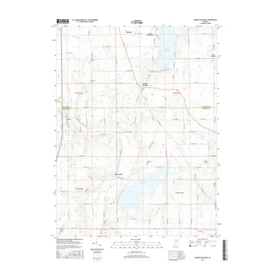
2016 Map of Mount Pleasant
USGS Topo · Published 2016About this map
Summit Lake Reservoir and Prairie Cr Reservoir dominate the landscape of this eastern Indiana region, where the headwaters of the Big Blue River and Buck Creek converge. The terrain is defined by an extensive network of drainage ditches and runs, such as Gibson Ditch, Sheetz Ditch, and Cliff Ditch, which supported the agricultural development of Henry and Delaware Counties. The map documents several small crossroads settlements, including Luray, Rogersville, and Mount Pleasant, which served as local hubs for the surrounding farming community. Genealogists will find a high density of burial sites across the townships, from the Lebanon Cemetery in the south to Macedonia Cemetery and Fairview Cemetery further north. This modern survey provides a detailed look at the rural infrastructure, including Starkey's Airport and the Prairie Creek Multi-Use Trail, illustrating how the land has transitioned between utility and recreation.
Find a feature on this map
111 named features on this map. Tap any name to fly to it.
Don’t see what you’re looking for? This feature index may not catch every label — zoom into the map to look around manually.
Map Details
Editions of this 2016 Mount Pleasant Map
This is the sole edition of this map. No revisions or reprints were ever made.
Other maps of this area

1949 · New Castle West
USGS Topo · 1:24,000

1950 · New Castle East
USGS Topo · 1:24,000

1952 · Muncie East
USGS Topo · 1:24,000

1952 · Farmland
USGS Topo · 1:24,000

1952 · Muncie West
USGS Topo · 1:24,000

1953 · Cincinnati
USGS Topo · 1:250,000

1953 · Muncie
USGS Topo · 1:250,000

1956 · Muncie
USGS Topo · 1:250,000

1957 · Cincinnati
USGS Topo · 1:250,000

1960 · New Castle West
USGS Topo · 1:24,000