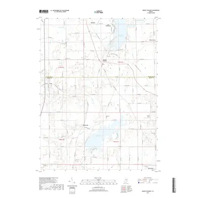
2019 Map of Mount Pleasant
USGS Topo · Published 2019About this map
Mount Pleasant serves as a central landmark in this portion of Eastern Indiana, where the landscape is defined by the transition from agricultural fields to significant water management features. The southern half of the map is dominated by the Summit Lake Reservoir, while the northern edge reaches the Prairie Creek Reservoir, reflecting the region's 20th-century hydrology developments. Small, long-standing settlements like Luray, Rogersville, and Mooreland are scattered across the terrain, connected by a rigid grid of county roads.
Find a feature on this map
119 named features on this map. Tap any name to fly to it.
Don’t see what you’re looking for? This feature index may not catch every label — zoom into the map to look around manually.
Map Details
Editions of this 2019 Mount Pleasant Map
This is the sole edition of this map. No revisions or reprints were ever made.
Other maps of this area

1949 · New Castle West
USGS Topo · 1:24,000

1950 · New Castle East
USGS Topo · 1:24,000

1952 · Muncie East
USGS Topo · 1:24,000

1952 · Farmland
USGS Topo · 1:24,000

1952 · Muncie West
USGS Topo · 1:24,000

1953 · Cincinnati
USGS Topo · 1:250,000

1953 · Muncie
USGS Topo · 1:250,000

1956 · Muncie
USGS Topo · 1:250,000

1957 · Cincinnati
USGS Topo · 1:250,000

1960 · New Castle West
USGS Topo · 1:24,000