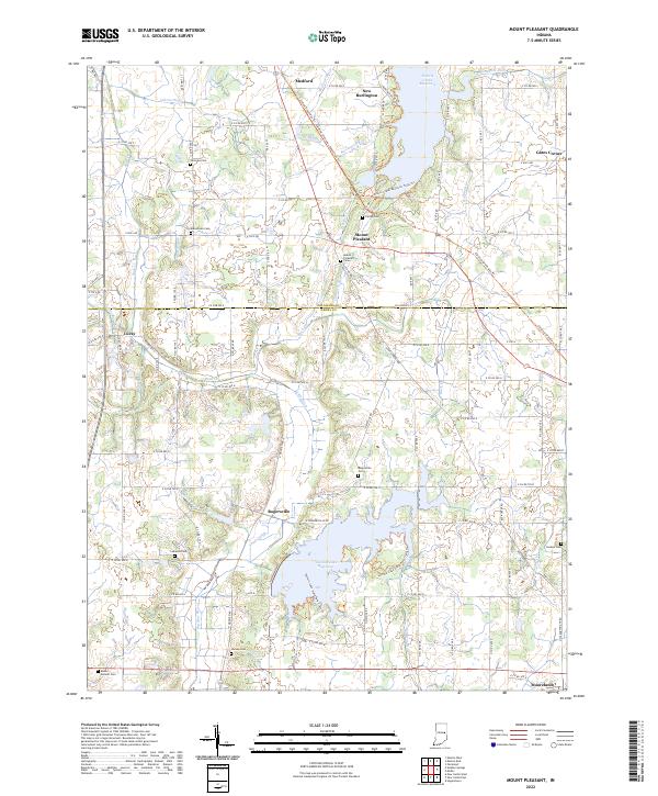
2022 Map of Mount Pleasant
USGS Topo · Published 2022About this map
Summit Lake Reservoir and Prairie Creek Reservoir anchor the landscape of the Indiana countryside along the border of Delaware and Henry counties. This 2022 survey captures the modern alignment of the Cardinal Greenway Trl, which follows a former rail corridor through Mount Pleasant and Medford. Small unincorporated communities like Rogersville and Luray maintain their place in a rural network defined by family-named cemeteries and a complex system of drainage ditches and creeks.
Find a feature on this map
110 named features on this map. Tap any name to fly to it.
Don’t see what you’re looking for? This feature index may not catch every label — zoom into the map to look around manually.
Map Details
Editions of this 2022 Mount Pleasant Map
This is the sole edition of this map. No revisions or reprints were ever made.
Other maps of this area

1949 · New Castle West
USGS Topo · 1:24,000

1950 · New Castle East
USGS Topo · 1:24,000

1952 · Muncie East
USGS Topo · 1:24,000

1952 · Farmland
USGS Topo · 1:24,000

1952 · Muncie West
USGS Topo · 1:24,000

1953 · Cincinnati
USGS Topo · 1:250,000

1953 · Muncie
USGS Topo · 1:250,000

1956 · Muncie
USGS Topo · 1:250,000

1957 · Cincinnati
USGS Topo · 1:250,000

1960 · New Castle West
USGS Topo · 1:24,000