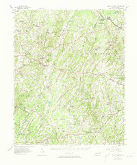
1957 Map of Mount Pleasant
USGS Topo · Published 1974About this map
Mount Pleasant and the surrounding townships of Cabarrus and Stanly counties exhibit a landscape defined by small crossroads settlements and a dense network of country churches. Notable religious and community centers such as St Johns Ch, Bethlehem Ch, and Prosperity Ch serve as vital landmarks across the rural terrain. The presence of the Reed Gold Mine in the southwest corner of the map marks a significant site in North Carolina's mining history, while Pfeiffer College near the town of Misenheimer indicates the area's educational development. Transport is facilitated by the Carolina and Northwestern Ry, which connects northern towns like Richfield and Misenheimer Springs Sta to the broader regional economy. The map also captures several family-named locations such as Barriers Mill and Pauls Crossing, providing clear evidence of the long-standing local lineages that shaped these communities.
Find a feature on this map
73 named features on this map. Tap any name to fly to it.
Don’t see what you’re looking for? This feature index may not catch every label — zoom into the map to look around manually.
Map Details
Editions of this 1957 Mount Pleasant Map
2 editions found
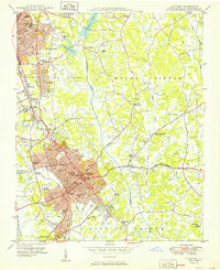
Other maps of this area

1893 · Statesville
USGS Topo · 1:125,000

1941 · Charlotte
USGS Topo · 1:125,000

1942 · Charlotte
USGS Topo · 1:125,000
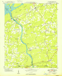
1949 · High Rock
USGS Topo · 1:24,000

1949 · Midland
USGS Topo · 1:24,000
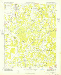
1949 · Concord SE
USGS Topo · 1:24,000
1950 · Concord
USGS Topo · 1:24,000

1953 · Charlotte
USGS Topo · 1:250,000

1954 · Charlotte
USGS Topo · 1:250,000

1957 · Mount Pleasant
USGS Topo · 1:62,500