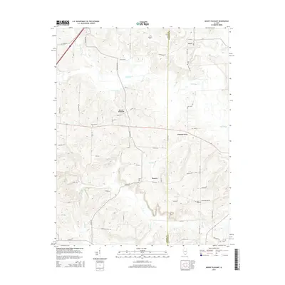
2015 Map of Mount Pleasant
USGS Topo · Published 2015About this map
Mount Pleasant and Pleasant Grove anchor this portion of southern Illinois, where the landscape is defined by the winding course of the Cache River and its numerous tributaries. The terrain is a network of small watersheds, including Bradshaw Cr, Buck Run, and Cypress Cr, which flow through the undulating countryside. The settlement pattern is largely rural, with clusters of activity near Moscow and Elvira. A high concentration of family and community burial grounds, such as Goddard Cem, Allen Cem, and McGinnis Cem, provides significant genealogical markers for those tracing local lineages. The map also highlights the distinct border between Union Co and Johnson Co, illustrating how these historical political boundaries bisect the natural drainage of the Cache River valley.
Find a feature on this map
64 named features on this map. Tap any name to fly to it.
Don’t see what you’re looking for? This feature index may not catch every label — zoom into the map to look around manually.
Map Details
Editions of this 2015 Mount Pleasant Map
This is the sole edition of this map. No revisions or reprints were ever made.
Other maps of this area

1918 · Vienna
USGS Topo · 1:62,500

1919 · Vienna
USGS Topo · 1:62,500

1920 · Dongola
USGS Topo · 1:62,500

1922 · Carbondale
USGS Topo · 1:62,500

1923 · Dongola
USGS Topo · 1:62,500

1925 · Marion
USGS Topo · 1:62,500

1940 · Marion
USGS Topo · 1:62,500

1941 · Carbondale
USGS Topo · 1:62,500

1942 · Vienna
USGS Topo · 1:62,500

1949 · Paducah
USGS Topo · 1:250,000