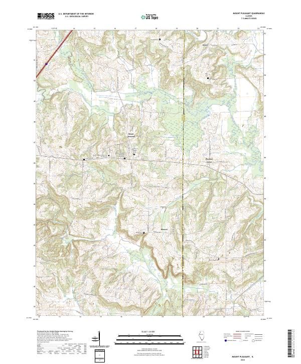
2024 Map of Mount Pleasant
USGS Topo · Published 2024About this map
Mount Pleasant and the surrounding crossroads of Pleasant Grove and Moscow characterize the landscape where the hills of Southern Illinois meet the swampy lowlands of the Cache River. The topography transitions from the rolling drainages of Lick Creek and Bradshaw Creek in the north toward the flat marshes of the Cypress Creek National Wildlife Refuge along the southern border. This area has long supported tight-knit rural communities, evidenced by the clustered institutions at Mount Pleasant Mennonite Church and the Mount Pleasant Mennonite School.
Find a feature on this map
77 named features on this map. Tap any name to fly to it.
Don’t see what you’re looking for? This feature index may not catch every label — zoom into the map to look around manually.
Map Details
Editions of this 2024 Mount Pleasant Map
This is the sole edition of this map. No revisions or reprints were ever made.
Other maps of this area

1918 · Vienna
USGS Topo · 1:62,500

1919 · Vienna
USGS Topo · 1:62,500

1920 · Dongola
USGS Topo · 1:62,500

1922 · Carbondale
USGS Topo · 1:62,500

1923 · Dongola
USGS Topo · 1:62,500

1925 · Marion
USGS Topo · 1:62,500

1940 · Marion
USGS Topo · 1:62,500

1941 · Carbondale
USGS Topo · 1:62,500

1942 · Vienna
USGS Topo · 1:62,500

1949 · Paducah
USGS Topo · 1:250,000