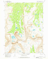
1967 Map of Mount Powell
USGS Topo · Published 1974About this map
Ashley National Forest dominates this high-altitude landscape, where the Indian Treaty Boundary and the line between Summit and Duchesne Counties intersect amidst the peaks. The area is defined by massive formations like Red Castle and South Kings Peak, with drainage systems flowing through Broadbent Meadow via the East Fork Smiths Fork. This high-country environment is marked by an extensive network of alpine waters, including Red Castle Lake, Lake Blanchard, and Kings Lake.
Find a feature on this map
34 named features on this map. Tap any name to fly to it.
Don’t see what you’re looking for? This feature index may not catch every label — zoom into the map to look around manually.
Map Details
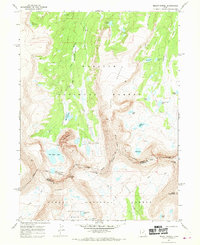
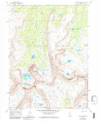
Editions of this 1967 Mount Powell Map
3 editions found
Other maps of this area

1885 · Uinta
USGS Topo · 1:250,000

1901 · Hayden Peak
USGS Topo · 1:125,000

1903 · Hayden Peak
USGS Topo · 1:125,000

1905 · Gilbert Peak
USGS Topo · 1:125,000

1906 · Gilbert Peak
USGS Topo · 1:125,000

1954 · Salt Lake City
USGS Topo · 1:250,000

1958 · Salt Lake City
USGS Topo · 1:250,000

1960 · Salt Lake City
USGS Topo · 1:250,000

1965 · Mount Emmons
USGS Topo · 1:24,000
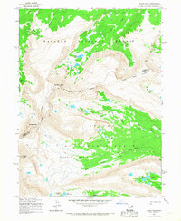
1965 · Kings Peak
USGS Topo · 1:24,000