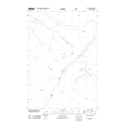
2011 Map of Mount Rae
USGS Topo · Published 2011About this map
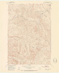
West Boulder River anchors this high-elevation landscape in Park County, where the transition from ranching valleys to steep peaks is clearly defined by historical property lines. The map reveals a legacy of western settlement through its numerous family-named landmarks, such as the Bruffey Homestead and Rogers Homestead, which are interspersed with active operations like the Swingley Ranch and Bar Twenty Ranch. This concentration of homestead labels suggests a history of difficult land claims in the shadow of peaks like Mount Rae and Mount Greeley. Navigation through the area follows established corridors like Swingley Rd and W Boulder Rd, providing access to high alpine features including Nurses Lakes and the remote Lost Lakes. The terrain is characterized by broad flats such as Taylor Flat and the West Boulder Meadows, which historically served as crucial grazing grounds within the rugged surrounding topography.
Find a feature on this map
39 named features on this map. Tap any name to fly to it.
Don’t see what you’re looking for? This feature index may not catch every label — zoom into the map to look around manually.
Map Details
Editions of this 2011 Mount Rae Map
This is the sole edition of this map. No revisions or reprints were ever made.
Other maps of this area
1891 · Livingston
USGS Topo · 1:250,000
1893 · Livingston
USGS Topo · 1:250,000
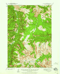
1940 · Mt. Cowen
USGS Topo · 1:62,500
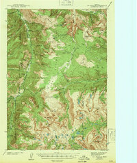
1941 · Mt Douglas
USGS Topo · 1:62,500
1943 · Mt Douglas
USGS Topo · 1:62,500
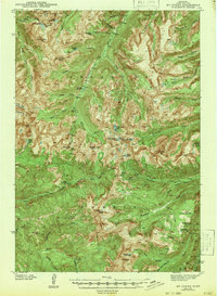
1943 · Mt Cowen
USGS Topo · 1:62,500

1947 · Bozeman
USGS Topo · 1:250,000

1948 · Bozeman
USGS Topo · 1:250,000
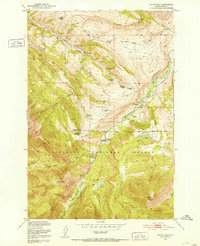
1951 · Mount Rae
USGS Topo · 1:24,000
1951 · Livingston Peak
USGS Topo · 1:24,000