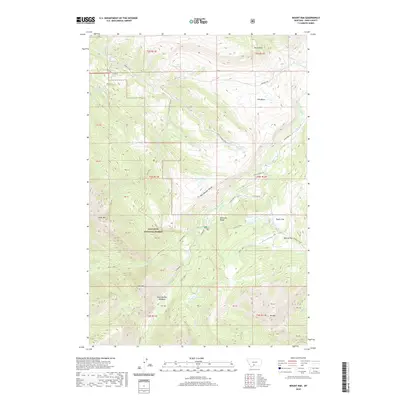
2020 Map of Mount Rae
USGS Topo · Published 2020About this map
Gallatin National Forest dominates this high-altitude landscape in Park County, where the peaks of the Absaroka Range define the hydrology of the region. The map highlights a complex network of alpine water systems, including the West Boulder River and its numerous tributaries such as Davis Cr and Lost Cr. This area is characterized by dramatic elevation changes, where high points like Mt Rae and Mt Greeley overlook glaciated features such as the Ellis Basin and West Boulder Meadows.
Find a feature on this map
53 named features on this map. Tap any name to fly to it.
Don’t see what you’re looking for? This feature index may not catch every label — zoom into the map to look around manually.
Map Details
Editions of this 2020 Mount Rae Map
This is the sole edition of this map. No revisions or reprints were ever made.
Other maps of this area

1891 · Livingston
USGS Topo · 1:250,000

1893 · Livingston
USGS Topo · 1:250,000

1940 · Mt. Cowen
USGS Topo · 1:62,500

1941 · Mt Douglas
USGS Topo · 1:62,500

1943 · Mt Douglas
USGS Topo · 1:62,500

1943 · Mt Cowen
USGS Topo · 1:62,500

1947 · Bozeman
USGS Topo · 1:250,000

1948 · Bozeman
USGS Topo · 1:250,000

1951 · Mount Rae
USGS Topo · 1:24,000

1951 · Livingston Peak
USGS Topo · 1:24,000