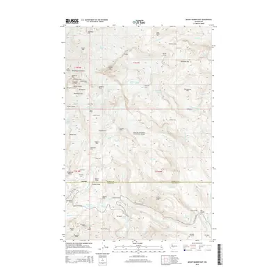
2014 Map of Mount Rainier East
USGS Topo · Published 2014About this map
Paradise and the surrounding high-elevation terrain of Mount Rainier National Park define this 2014 survey. The area is a dense network of ice and rock, featuring massive flows such as Emmons Glacier, Nisqually Glacier, and the Ingraham Glacier. For researchers of alpine history and park development, the map details the infrastructure around Paradise Park and the winding path of Stevens Canyon Rd as it crosses the boundary between Pierce Co and Lewis Co.
Find a feature on this map
111 named features on this map. Tap any name to fly to it.
Don’t see what you’re looking for? This feature index may not catch every label — zoom into the map to look around manually.
Map Details
Editions of this 2014 Mount Rainier East Map
This is the sole edition of this map. No revisions or reprints were ever made.
Other maps of this area

1924 · Mt Rainier
USGS Topo · 1:96,000

1928 · Mt Rainier
USGS Topo · 1:125,000

1950 · Yakima
USGS Topo · 1:250,000

1958 · Yakima
USGS Topo · 1:250,000

1961 · Yakima
USGS Topo · 1:250,000

1962 · Randle
USGS Topo · 1:62,500

1962 · Packwood
USGS Topo · 1:62,500
1971 · Sunrise
USGS Topo · 1:24,000
1971 · White River Park
USGS Topo · 1:24,000
1971 · Mt Rainier West
USGS Topo · 1:24,000