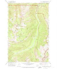
1971 Map of White River Park
USGS Topo · Published 1974About this map
The White River valley carves through the high country of the Sourdough Mountains, serving as a primary corridor into the northeast corner of Mount Rainier National Park during the early 1970s. The landscape is defined by its extensive trail networks, notably the Wonderland Trail and the Pacific Crest National Scenic Trail, which provide access to a series of alpine parks including Burnt Park, Green Park, and Bear Park. Infrastructure within the park boundaries is focused on administration and visitor safety, represented by the White River Ranger Station, a Patrol Cabin, and the Silver Creek Guard Station. The presence of a State Highway Maintenance Sta and a Gaging Station near the river indicates the technical management required for this high-elevation environment. Geologic and recreational landmarks such as The Palisades and Sunrise Point offer specific points of interest for those studying the area's historical land use and early park development.
Find a feature on this map
60 named features on this map. Tap any name to fly to it.
Don’t see what you’re looking for? This feature index may not catch every label — zoom into the map to look around manually.
Map Details
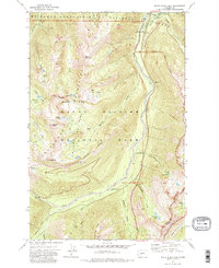
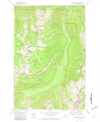
Editions of this 1971 White River Park Map
3 editions found
Other maps of this area

1901 · Snoqualmie Pass
USGS Topo · 1:125,000

1902 · Mount Aix
USGS Topo · 1:125,000

1903 · Snoqualmie
USGS Topo · 1:125,000

1904 · Mt Aix
USGS Topo · 1:125,000

1913 · Cedar Lake
USGS Topo · 1:125,000

1924 · Mt Rainier
USGS Topo · 1:96,000

1928 · Mt Rainier
USGS Topo · 1:125,000

1950 · Yakima
USGS Topo · 1:250,000

1956 · Greenwater
USGS Topo · 1:62,500

1957 · Wenatchee
USGS Topo · 1:250,000