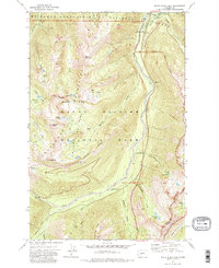
1971 Map of White River Park
USGS Topo · Published 1983About this map
Mount Rainier National Park occupies the southwestern half of this 1971 study, where the glaciated terrain meets the Mt Baker-Snoqualmie National Forest and Wenatchee National Forest. The map documents a landscape of alpine ridges and deep river valleys during a period of established conservation and recreation management. Key infrastructure for wilderness monitoring is visible at the White River Ranger Station, the Silver Creek Guard Station, and a remote Patrol Cabin near Huckleberry Creek.
Find a feature on this map
56 named features on this map. Tap any name to fly to it.
Don’t see what you’re looking for? This feature index may not catch every label — zoom into the map to look around manually.
Map Details
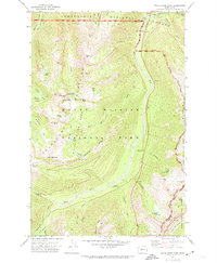
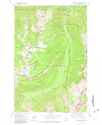
Editions of this 1971 White River Park Map
3 editions found
Other maps of this area

1901 · Snoqualmie Pass
USGS Topo · 1:125,000

1902 · Mount Aix
USGS Topo · 1:125,000

1903 · Snoqualmie
USGS Topo · 1:125,000

1904 · Mt Aix
USGS Topo · 1:125,000

1913 · Cedar Lake
USGS Topo · 1:125,000

1924 · Mt Rainier
USGS Topo · 1:96,000

1928 · Mt Rainier
USGS Topo · 1:125,000

1950 · Yakima
USGS Topo · 1:250,000

1956 · Greenwater
USGS Topo · 1:62,500

1957 · Wenatchee
USGS Topo · 1:250,000