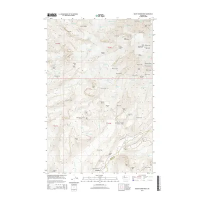
2014 Map of Mount Rainier West
USGS Topo · Published 2014About this map
Longmire serves as the primary gateway into the southwestern sector of Mount Rainier National Park on this 2014 survey. The topography is dominated by the glacial systems radiating from the summit, including the Nisqually Glacier, Tahoma Glacier, and the massive Carbon Glacier to the north. These ice fields are divided by prominent geological ribs like the Puyallup Cleaver and Success Cleaver. The map provides detailed elevations for the summit's high points, specifically Columbia Crest and Liberty Cap. Below the timberline, the landscape transitions into high-altitude meadows and basins such as Saint Andrews Park and the Mirror Lakes area, while numerous drainages like Kautz Cr and Devils Dream Cr carry glacial meltwater toward the park boundaries.
Find a feature on this map
101 named features on this map. Tap any name to fly to it.
Don’t see what you’re looking for? This feature index may not catch every label — zoom into the map to look around manually.
Map Details
Editions of this 2014 Mount Rainier West Map
This is the sole edition of this map. No revisions or reprints were ever made.
Other maps of this area
1924 · Mt Rainier
USGS Topo · 1:96,000
1928 · Mt Rainier
USGS Topo · 1:125,000
1950 · Yakima
USGS Topo · 1:250,000
1958 · Yakima
USGS Topo · 1:250,000
1961 · Yakima
USGS Topo · 1:250,000
1962 · Randle
USGS Topo · 1:62,500
1962 · Packwood
USGS Topo · 1:62,500
1971 · Sunrise
USGS Topo · 1:24,000
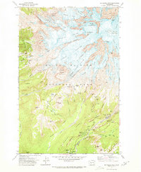
1971 · Mt Rainier West
USGS Topo · 1:24,000
1971 · Mount Wow
USGS Topo · 1:24,000