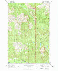
1971 Map of Mount Wow
USGS Topo · Published 1974About this map
Mount Wow anchors this high-elevation landscape within the southern reaches of the Snoqualmie National Forest and Mount Rainier National Park. A significant interpretive highlight is the Marine Memorial Airplane Crash Monument located at Round Pass, a poignant marker of military aviation history set against the steep slopes of Emerald Ridge. The map details a complex network of glacial meltwater drainage, where the Puyallup River and Nisqually River carry runoff from the higher peaks through deep-cut valleys. Remote high-altitude destinations such as Lake George and Lake Allen are accessible via the historic Wonderland Trail, which traverses the ridge lines. The presence of a Patrol Cabin and various lookout points like Gabblers Knob reflects the early 1970s infrastructure for backcountry management and fire surveillance in this wilderness area.
Find a feature on this map
40 named features on this map. Tap any name to fly to it.
Don’t see what you’re looking for? This feature index may not catch every label — zoom into the map to look around manually.
Map Details
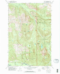
Editions of this 1971 Mount Wow Map
2 editions found
Other maps of this area

1924 · Mt Rainier
USGS Topo · 1:96,000

1928 · Mt Rainier
USGS Topo · 1:125,000

1937 · Eatonville
USGS Topo · 1:125,000

1950 · Yakima
USGS Topo · 1:250,000

1953 · Hoquiam
USGS Topo · 1:250,000

1956 · Mineral
USGS Topo · 1:62,500

1956 · Kapowsin
USGS Topo · 1:62,500

1957 · Hoquiam
USGS Topo · 1:250,000

1958 · Yakima
USGS Topo · 1:250,000

1958 · Hoquiam
USGS Topo · 1:250,000