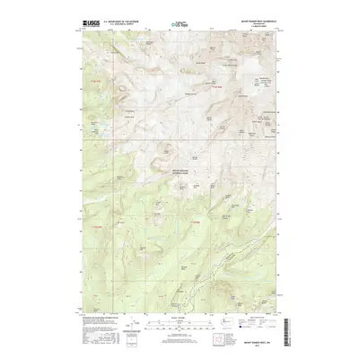
2017 Map of Mount Rainier West
USGS Topo · Published 2017About this map
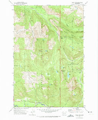
Mount Rainier and its complex network of glaciers and cleavers dominate this high-altitude survey of Mount Rainier National Park. The summit area is meticulously detailed, showing the West Crater and East Crater flanking the highest point at Columbia Crest. Radiating from this volcanic peak are massive ice and rock formations such as the Wilson Headwall, Puyallup Cleaver, and the sheer Willis Wall. At lower elevations, the map transitions into lush glacial valleys and meadows. Longmire Meadow serves as a key landmark in the south, while several named parks like Saint Andrews Park and Van Trump Park offer a contrast to the icy heights. The drainage system is clearly defined by the Nisqually River and the S Mowich River, alongside numerous cataracts including Comet Falls and Christine Falls. Roadways like Paradise Rd and Stevens Canyon Rd provide a grounded perspective on the region's accessibility and development for park visitors.
Find a feature on this map
92 named features on this map. Tap any name to fly to it.
Don’t see what you’re looking for? This feature index may not catch every label — zoom into the map to look around manually.
Map Details
Editions of this 2017 Mount Rainier West Map
This is the sole edition of this map. No revisions or reprints were ever made.
Other maps of this area
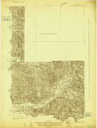
1924 · Mt Rainier
USGS Topo · 1:96,000
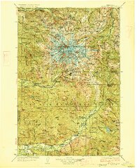
1928 · Mt Rainier
USGS Topo · 1:125,000

1950 · Yakima
USGS Topo · 1:250,000

1958 · Yakima
USGS Topo · 1:250,000
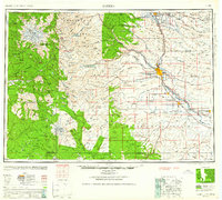
1961 · Yakima
USGS Topo · 1:250,000
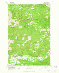
1962 · Randle
USGS Topo · 1:62,500
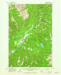
1962 · Packwood
USGS Topo · 1:62,500
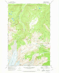
1971 · Sunrise
USGS Topo · 1:24,000
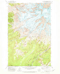
1971 · Mt Rainier West
USGS Topo · 1:24,000
1971 · Mount Wow
USGS Topo · 1:24,000