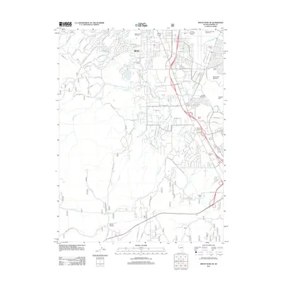
2012 Map of Mount Rose NE
USGS Topo · Published 2012About this map
Reno's southern suburban expansion meets the high desert landscape in this early 21st-century record of Washoe County. The transition from established neighborhoods near Virginia Lake and the Washoe County Golf Course to the burgeoning residential developments further south is clearly evident. The map documents a landscape where traditional agricultural holdings like Double Diamond Ranch and Pedretti Ranch sit alongside modern infrastructure including the Cannon International Airport.
Find a feature on this map
106 named features on this map. Tap any name to fly to it.
Don’t see what you’re looking for? This feature index may not catch every label — zoom into the map to look around manually.
Map Details
Editions of this 2012 Mount Rose NE Map
This is the sole edition of this map. No revisions or reprints were ever made.
Other maps of this area

1891 · Carson
USGS Topo · 1:125,000

1891 · Reno
USGS Topo · 1:125,000

1893 · Carson
USGS Topo · 1:125,000

1893 · Reno
USGS Topo · 1:125,000

1950 · Virginia City
USGS Topo · 1:62,500

1950 · Mt. Rose
USGS Topo · 1:62,500

1950 · Reno
USGS Topo · 1:62,500

1951 · Reno
USGS Topo · 1:62,500

1952 · Mt. Rose
USGS Topo · 1:62,500

1952 · Virginia City
USGS Topo · 1:62,500