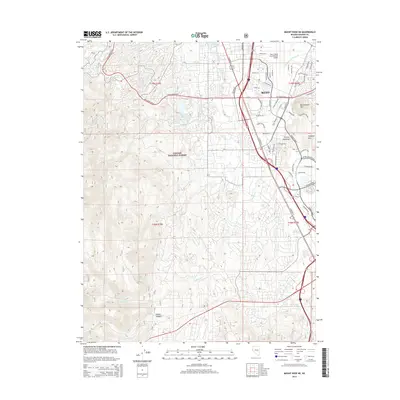
2014 Map of Mount Rose NE
USGS Topo · Published 2014About this map
Reno expands southward into the Truckee Meadows in this 2014 record of Washoe County, where urban development meets the protected slopes of the Toiyabe National Forest. The transition from city streets to wilderness is marked by landmarks like Moana Hot Springs and Virginia Lake, as well as infrastructure including the Reno/Tahoe International Airport. To the west and south, the terrain rises sharply toward Whites Canyon, with the landscape carved by Thomas Cr and Evans Cr. Historical water management is evident in features such as the Cochran Ditch and Wheeler Reservoir, which reflect the region's adaptation to its arid environment. High-elevation landmarks like Rattlesnake Mtn and the Huffaker Hills provide natural anchors for the growing suburban network of roads like Mcclarran Blvd and S Virginia St.
Find a feature on this map
64 named features on this map. Tap any name to fly to it.
Don’t see what you’re looking for? This feature index may not catch every label — zoom into the map to look around manually.
Map Details
Editions of this 2014 Mount Rose NE Map
This is the sole edition of this map. No revisions or reprints were ever made.
Other maps of this area

1891 · Carson
USGS Topo · 1:125,000

1891 · Reno
USGS Topo · 1:125,000

1893 · Carson
USGS Topo · 1:125,000

1893 · Reno
USGS Topo · 1:125,000

1950 · Virginia City
USGS Topo · 1:62,500

1950 · Mt. Rose
USGS Topo · 1:62,500

1950 · Reno
USGS Topo · 1:62,500

1951 · Reno
USGS Topo · 1:62,500

1952 · Mt. Rose
USGS Topo · 1:62,500

1952 · Virginia City
USGS Topo · 1:62,500