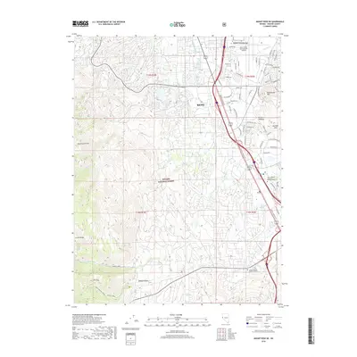
2018 Map of Mount Rose NE
USGS Topo · Published 2018About this map
The high desert landscape of Reno meets the rising elevations of the Carson Range in this modern survey of the southern Truckee Meadows. The map details the heavy urbanization of the valley floor, where the Reno/Tahoe International Airport and commercial developments along South Virginia St dominate the eastern half. Notable landmarks include the Moana Hot Springs and educational extensions like the Univ of Nevada Redfield Campus.
Find a feature on this map
69 named features on this map. Tap any name to fly to it.
Don’t see what you’re looking for? This feature index may not catch every label — zoom into the map to look around manually.
Map Details
Editions of this 2018 Mount Rose NE Map
This is the sole edition of this map. No revisions or reprints were ever made.
Other maps of this area

1891 · Carson
USGS Topo · 1:125,000

1891 · Reno
USGS Topo · 1:125,000

1893 · Carson
USGS Topo · 1:125,000

1893 · Reno
USGS Topo · 1:125,000

1950 · Virginia City
USGS Topo · 1:62,500

1950 · Mt. Rose
USGS Topo · 1:62,500

1950 · Reno
USGS Topo · 1:62,500

1951 · Reno
USGS Topo · 1:62,500

1952 · Mt. Rose
USGS Topo · 1:62,500

1952 · Virginia City
USGS Topo · 1:62,500