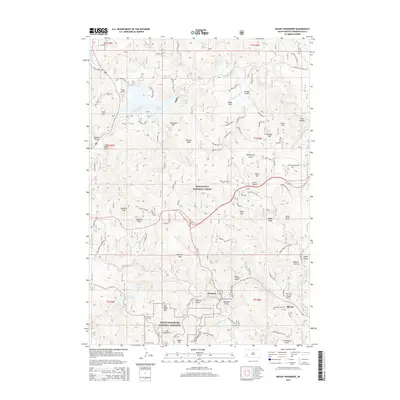
2015 Map of Mount Rushmore
USGS Topo · Published 2015About this map
Mount Rushmore National Memorial anchors the southern portion of this landscape, situated within the expansive Black Hills National Forest. The map documents the intricate topography of the Black Hills, characterized by numerous peaks such as Samelias Peak, Ingersoll Peak, and Old Baldy Mtn. The settlement of Keystone serves as a central hub, linked to surrounding landmarks by a network of forest roads including Iron Mountain Rd and Grizzly Gulch Rd.
Find a feature on this map
72 named features on this map. Tap any name to fly to it.
Don’t see what you’re looking for? This feature index may not catch every label — zoom into the map to look around manually.
Map Details
Editions of this 2015 Mount Rushmore Map
This is the sole edition of this map. No revisions or reprints were ever made.
Other maps of this area
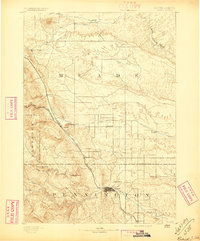
1893 · Rapid
USGS Topo · 1:125,000
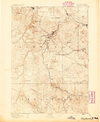
1894 · Deadwood
USGS Topo · 1:125,000
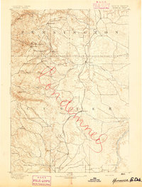
1894 · Hermosa
USGS Topo · 1:125,000
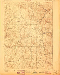
1896 · Harney Peak
USGS Topo · 1:125,000
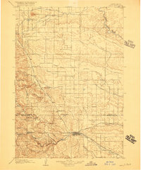
1898 · Rapid
USGS Topo · 1:125,000
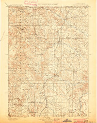
1901 · Hermosa
USGS Topo · 1:125,000
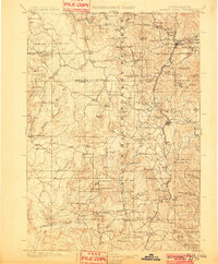
1901 · Harney Peak
USGS Topo · 1:125,000
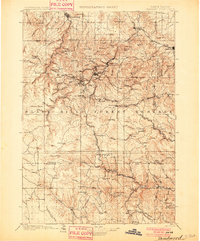
1901 · Deadwood
USGS Topo · 1:125,000
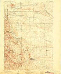
1903 · Rapid
USGS Topo · 1:125,000
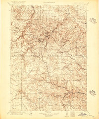
1916 · Deadwood
USGS Topo · 1:125,000