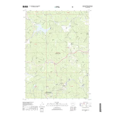
2017 Map of Mount Rushmore
USGS Topo · Published 2017About this map
Keystone serves as a focal point in this 2017 study of the Black Hills, situated among the peaks and gulches that define this portion of Black Hills National Forest. The map documents the immediate surroundings of the Mount Rushmore National Memorial, including prominent heights such as Doane Mtn and Ingersoll Peak. To the north, the waters of Sheridan Lake are held by the Sheridan Lake Dam, with recreational access noted at Northbeach.
Find a feature on this map
93 named features on this map. Tap any name to fly to it.
Don’t see what you’re looking for? This feature index may not catch every label — zoom into the map to look around manually.
Map Details
Editions of this 2017 Mount Rushmore Map
This is the sole edition of this map. No revisions or reprints were ever made.
Other maps of this area
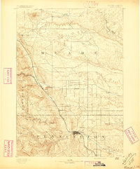
1893 · Rapid
USGS Topo · 1:125,000
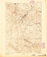
1894 · Deadwood
USGS Topo · 1:125,000
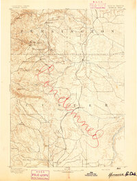
1894 · Hermosa
USGS Topo · 1:125,000
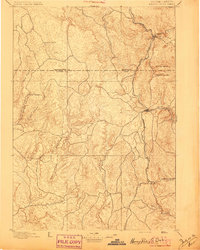
1896 · Harney Peak
USGS Topo · 1:125,000
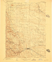
1898 · Rapid
USGS Topo · 1:125,000
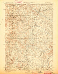
1901 · Hermosa
USGS Topo · 1:125,000
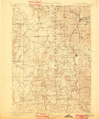
1901 · Harney Peak
USGS Topo · 1:125,000
1901 · Deadwood
USGS Topo · 1:125,000
1903 · Rapid
USGS Topo · 1:125,000
1916 · Deadwood
USGS Topo · 1:125,000