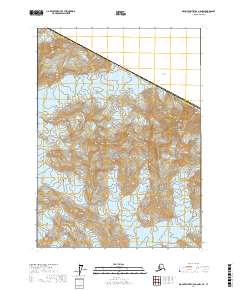
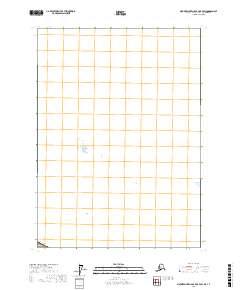
2017 Map of Mount Saint Elias A-6 NW
USGS Topo · Published 2017About this map
Wrangell-Saint Elias National Park encompasses this high-altitude landscape along the international border between Canada and the United States. The terrain is dominated by the massive ice fields of the Malaspina Glacier and the Marvine Glacier, which flow through the southern reaches of the Saint Elias Mountains. This 2017 survey by the U.S. Geological Survey illustrates the ice-carved topography of the Yakutat Borough, where the Pinnacle Pass Hills rise amidst the glacial expanse. The map provides precise detail for a region where the shifting boundaries of moving ice meet the permanent markers of the Public Land Survey System, including several township and range divisions such as t20s r30e and t19s r31e.
Find a feature on this map
14 named features on this map. Tap any name to fly to it.
Don’t see what you’re looking for? This feature index may not catch every label — zoom into the map to look around manually.
Map Details
Editions of this 2017 Mount Saint Elias A-6 NW Map
This is the sole edition of this map. No revisions or reprints were ever made.
Other maps of this area

1951 · Mt Saint Elias
USGS Topo · 1:250,000

1959 · Mt Saint Elias
USGS Topo · 1:250,000
1985 · Mount Saint Elias A-7
USGS Topo · 1:63,360
1985 · Mount Saint Elias B-7
USGS Topo · 1:63,360
1985 · Mount Saint Elias A-6
USGS Topo · 1:63,360
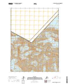
2017 · Mount Saint Elias A-6 NE
USGS Topo · 1:25,000
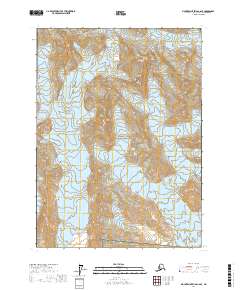
2017 · Mount Saint Elias A-6 SE
USGS Topo · 1:25,000
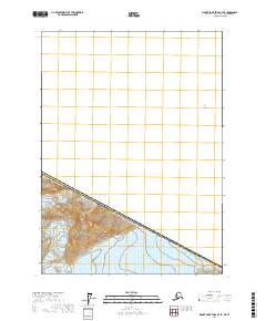
2017 · Mount Saint Elias B-7 SE
USGS Topo · 1:25,000
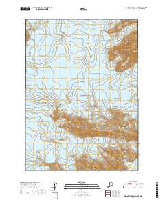
2017 · Mount Saint Elias A-7 NE
USGS Topo · 1:25,000
2017 · Mount Saint Elias B-7 OE E SW
USGS Topo · 1:25,000